Hiking · Silverton, CO
Poughkeepsie Gulch Wall
Before you go
Live · nearest station Telluride, 10 miGood window today. Daylight to 5:05 pm.
Clear
Feels like 24°
Trailhead temp
18° est. at 11,831 ft
Wind
5 mph ESE
UV index
0 low
Sun window
6:42 am to 5:05 pm
Distance
—
Elevation gain
—
High point
11,831ft
Season
Jan - Dec
About
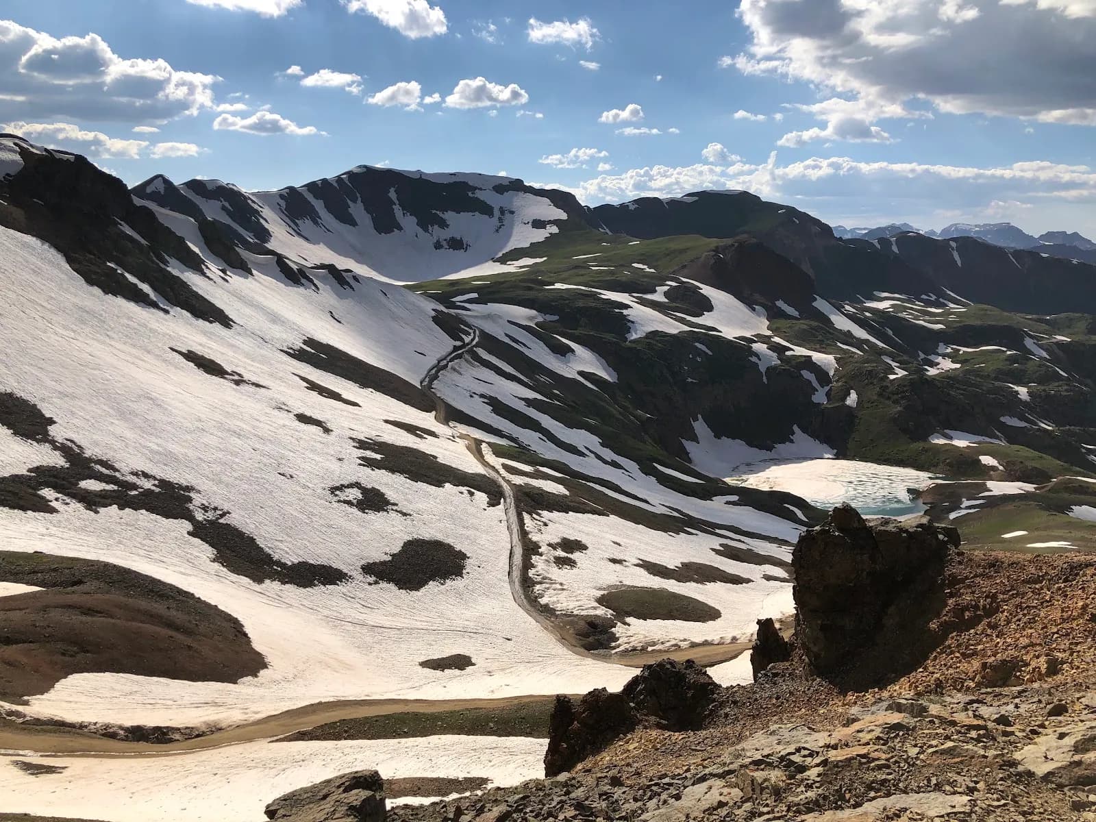
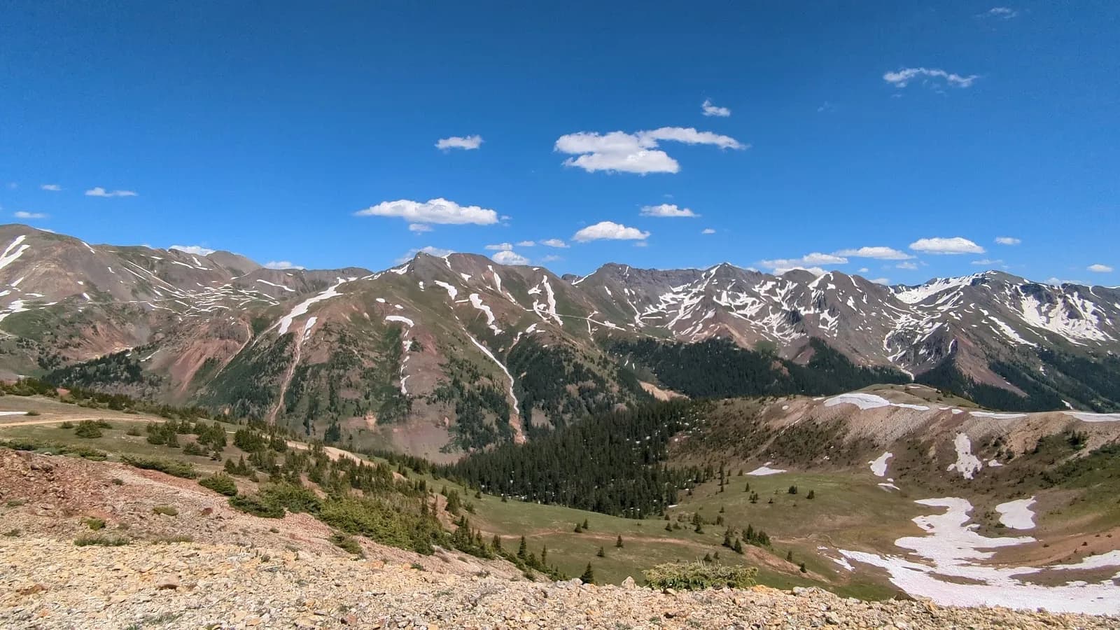
The Poughkeepsie Gulch Wall is a steep, rocky obstacle located on the Poughkeepsie Gulch OHV Trail near Silverton, Colorado. This 4WD route is widely considered one of the most challenging jeep trails in the San Juan Mountains, with the Wall serving as a major technical feature. The obstacle consists of embedded rocks and multiple lines that require good suspension articulation, often necessitating winching or rock stacking for ill-equipped vehicles. While primarily a 4WD road, the trail offers hiking access and is rated as moderate for foot traffic. Hikers typically spend about two hours on the route, which runs through high-elevation terrain reaching approximately 12,544 feet. The trail parallels the Uncompahgre River and provides views of the surrounding peaks and Lake Como. Parking is available at the trailhead, and pets are permitted. The area has a history of silver and gold mining dating to the 1870s, though current visitors prioritize the technical driving experience over historical sites. The trail is generally open from July 1 to October 14, though access may be possible year-round depending on conditions. Wet weather can make the Wall difficult to traverse.
Trail profile
Gain
—
Avg grade
—
Steepest
—
High point
11,831 ft
Good to know
Parking at the trailhead
Dogs allowed on leash
Waypoints
No waypoints mapped for this trail yet.
What people say
Reviews
No reviews yet
Been here? Help the next person out.
Within 30 miles