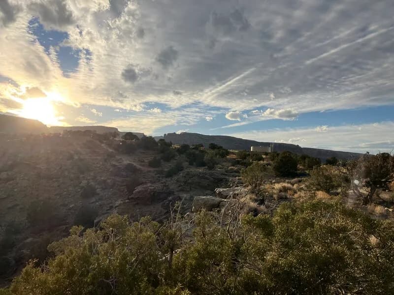
Hiking · Grand Junction, CO
Fenceline Trail
Before you go
Live · nearest station Grand Junction, 0 miGood window today.
Thunderstorms
Feels like 71°
Wind
5 mph SE
Distance
3.7mi round trip
Elevation gain
152ft
High point
4,914ft
Season
Jan - Dec
About
The Fenceline Trail is a hiking and singletrack route near Grand Junction, Colorado, located within the Uncompahgre National Forest. The trail follows the CNM boundary fence, offering views of the monument and connecting to Liberty Cap and White Rocks. It is accessible year-round and typically takes about two hours to complete. Parking is available at the trailhead.
Trail profile
Gain
152 ft
Avg grade
1%
Steepest
1%
High point
4,914 ft
Good to know
Parking at the trailhead
Waypoints
Latest trail reportgood
Trail is in good condition. No significant obstacles or hazards reported.
Reported Mar 2, 2025Verified
What people say
Reviews
No reviews yet
Been here? Help the next person out.
Within 30 miles
Nearby spots