Hiking · Fruita, CO
Flume Canyon Trail (F1)
Before you go
Live · nearest station Grand Junction, 12 miGood window today.
Mostly Cloudy
Feels like 63°
Storm chance
8% afternoon
Wind
5 mph N
Distance
4.78mi round trip
Elevation gain
32ft
High point
4,514ft
Season
Jan - Dec
About
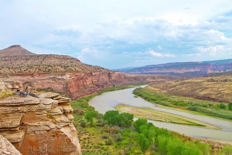
The Flume Canyon Trail (F1) is a 4.5 to 4.8-mile loop located in the McInnis Canyons National Conservation Area near Fruita, Colorado. Starting from the Pollock Bench Trailhead, the route follows Flume Creek through a narrow canyon characterized by a distinctive narrows section where the creek cuts through dark layered deposits beneath lighter quartz-flecked sandstone. The terrain transitions between slickrock, rock benches, and sandy stretches, with the lower canyon containing willows and tamarisk. The trail is considered moderate difficulty and typically takes about 2.5 to 3 hours to complete. Elevation ranges from approximately 4,480 to 4,980 feet. The trail is open to hikers and dogs on a leash, but bicycles are not allowed. Parking is available at the trailhead, and signage is generally good, though some trail braiding occurs. Hikers should be aware of flash flood potential, particularly in the narrow chute section, which can hold several feet of water during heavy rain. Cell service is limited to 0-3 bars.
Trail profile
Gain
32 ft
Avg grade
0%
Steepest
0%
High point
4,514 ft
Good to know
Parking at the trailhead
Waypoints
Latest trail reportgood
Trail is in good condition. No significant obstacles or hazards reported.
Reported Mar 2, 2025Verified
What people say
Reviews
No reviews yet
Been here? Help the next person out.
Within 30 miles