Rock Climbing · Montrose, CO
Free Will
Before you go
Live · nearest station Montrose, 3 miGood window today.
Cloudy
Feels like 62°
Storm chance
26% tonight
Wind
5 mph SSE
Distance
—
Elevation gain
11ft
High point
5,677ft
Season
Jan - Dec
About
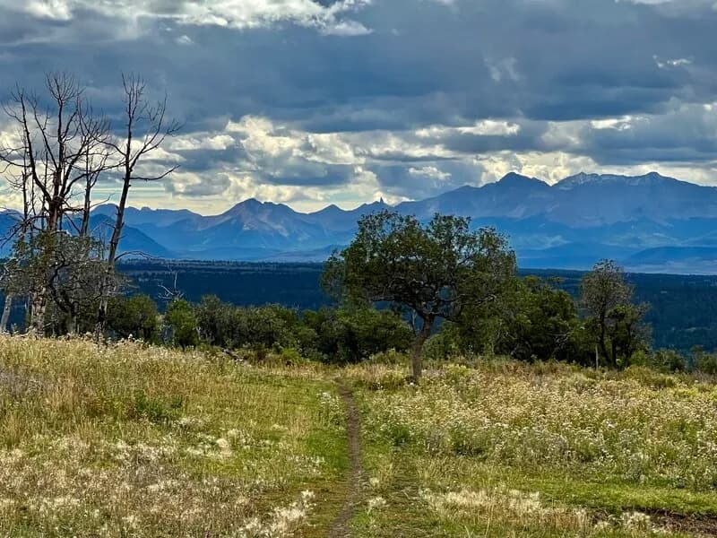
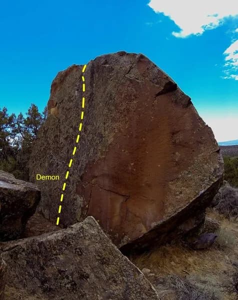
Free Will is a rock climbing area in Montrose, Colorado, located at 5,677 feet elevation. The site offers moderate difficulty routes suitable for climbers with some experience. Parking is available on-site, and pets are permitted. The climbing options include both indoor and outdoor settings. The Montrose Recreation District features an indoor climbing wall that is 27 feet tall with 12 anchors for top roping and five auto belays. This wall is painted to resemble the Black Canyon and includes three cracks of varying sizes. Routes at the indoor facility range from beginner to advanced levels. The Black Canyon of the Gunnison National Park, located between Montrose and Gunnison, serves as a primary outdoor destination for climbers in the area. It offers dozens of routes ranging from moderate to extreme difficulty, with ratings starting at 5.9 and extending to 5.13. Peak climbing seasons in the Black Canyon are mid-April through mid-June and late August through early November. The Dry Creek Climbing Area, approximately 15 miles west of Montrose, provides sandstone cliffs between 30 and 50 feet high with sport routes featuring five to eight bolts per pitch. All activities in the Black Canyon require a free wilderness use permit, available at the North Rim Ranger Station and South Rim Visitor Center.
Trail profile
Gain
11 ft
Avg grade
—
Steepest
—
High point
5,677 ft
Good to know
Parking at the trailhead
Dogs allowed on leash
Waypoints
Latest trail reportgood
Spring climbing conditions. Route may be wet after rainfall. Check weather forecast before climbing.
Reported Mar 3, 2025Verified
What people say
Reviews
No reviews yet
Been here? Help the next person out.
Within 30 miles