Hiking · Fruita, CO
Fruita Dugway
Before you go
Live · nearest station Grand Junction, 13 miGood window today.
Mostly Cloudy
Feels like 66°
Storm chance
5% tonight
Wind
5 mph E
Distance
2mi round trip
Elevation gain
361ft
High point
5,066ft
Season
Jan - Dec
About
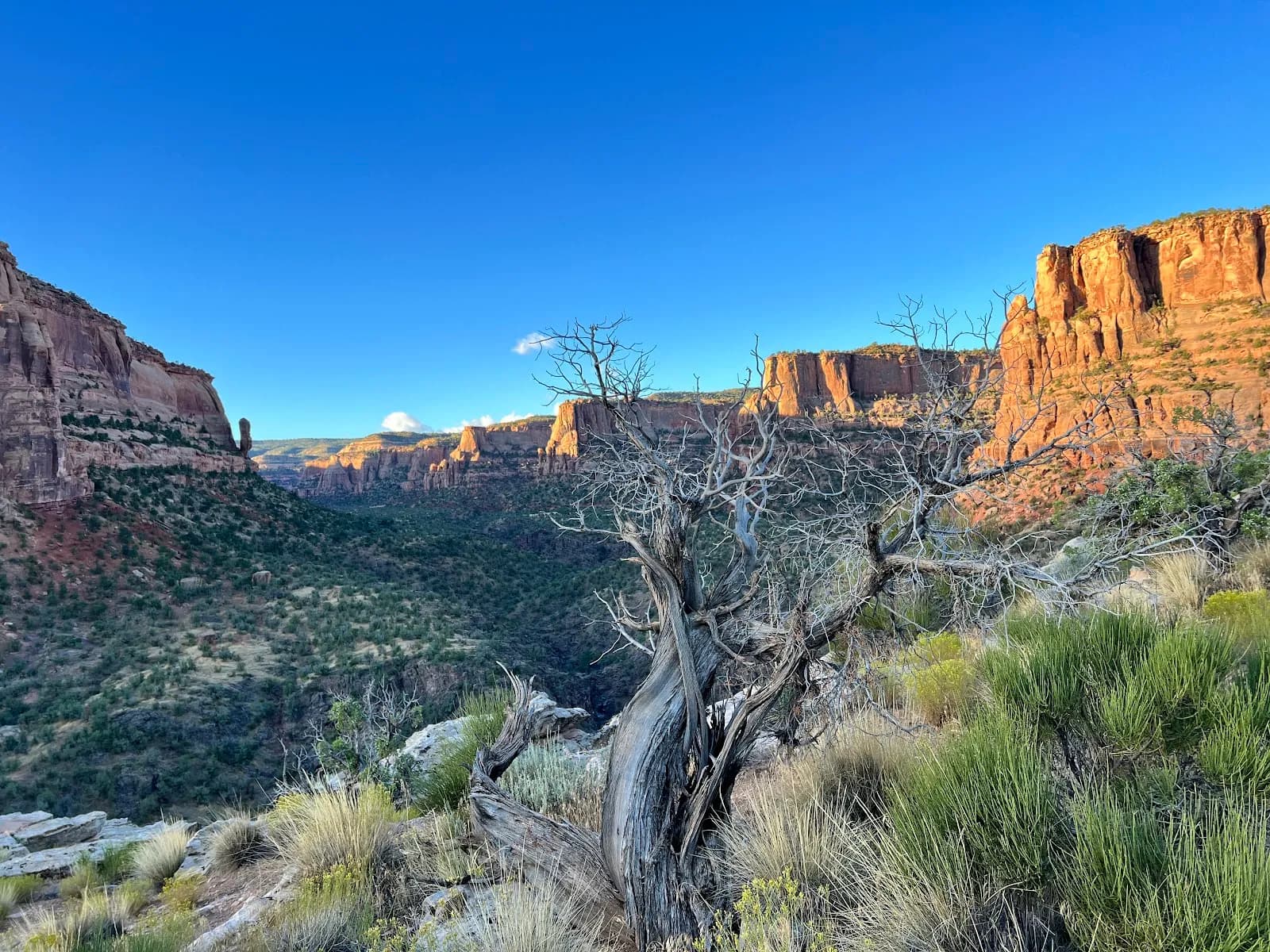
The Fruita Dugway is a 2-mile hiking trail in Fruita, Colorado, connecting Kodels Canyon to the Black Ridge Trail. Classified as difficult, the route climbs approximately 1,026 feet from an elevation of roughly 5,036 to 6,062 feet. Hikers typically complete the point-to-point trek in about one hour. The trail surface is dirt and remains largely unmaintained, featuring rocky terrain with steep dropoffs. Access begins at the Kodels Canyon trailhead, located in a pullout along Highway 340 across from Dinosaur Hill. From there, hikers follow the K1 trail for 0.5 miles to reach the Dugway junction. The path ascends the north side of the Colorado National Monument, crossing over 1.5 miles of monument land while starting and ending on BLM property. Historical records indicate the road was built in 1907 to haul pipe for a water line connecting Fruita Reservoirs to the town. The trailhead offers parking, and the route is accessible year-round.
Trail profile
Gain
361 ft
Avg grade
3%
Steepest
3%
High point
5,066 ft
Good to know
Parking at the trailhead
Waypoints
Latest trail reportgood
Trail is in good condition. No significant obstacles or hazards reported.
Reported Mar 2, 2025Verified
What people say
Reviews
No reviews yet
Been here? Help the next person out.
Within 30 miles