Hiking · Fruita, CO
Sarlacc Trail
Before you go
Live · nearest station Grand Junction, 13 miGood window today.
Mostly Cloudy
Feels like 66°
Storm chance
5% tonight
Wind
5 mph E
Distance
10.3mi round trip
Elevation gain
2,158ft
High point
6,640ft
Season
Jan - Dec
About
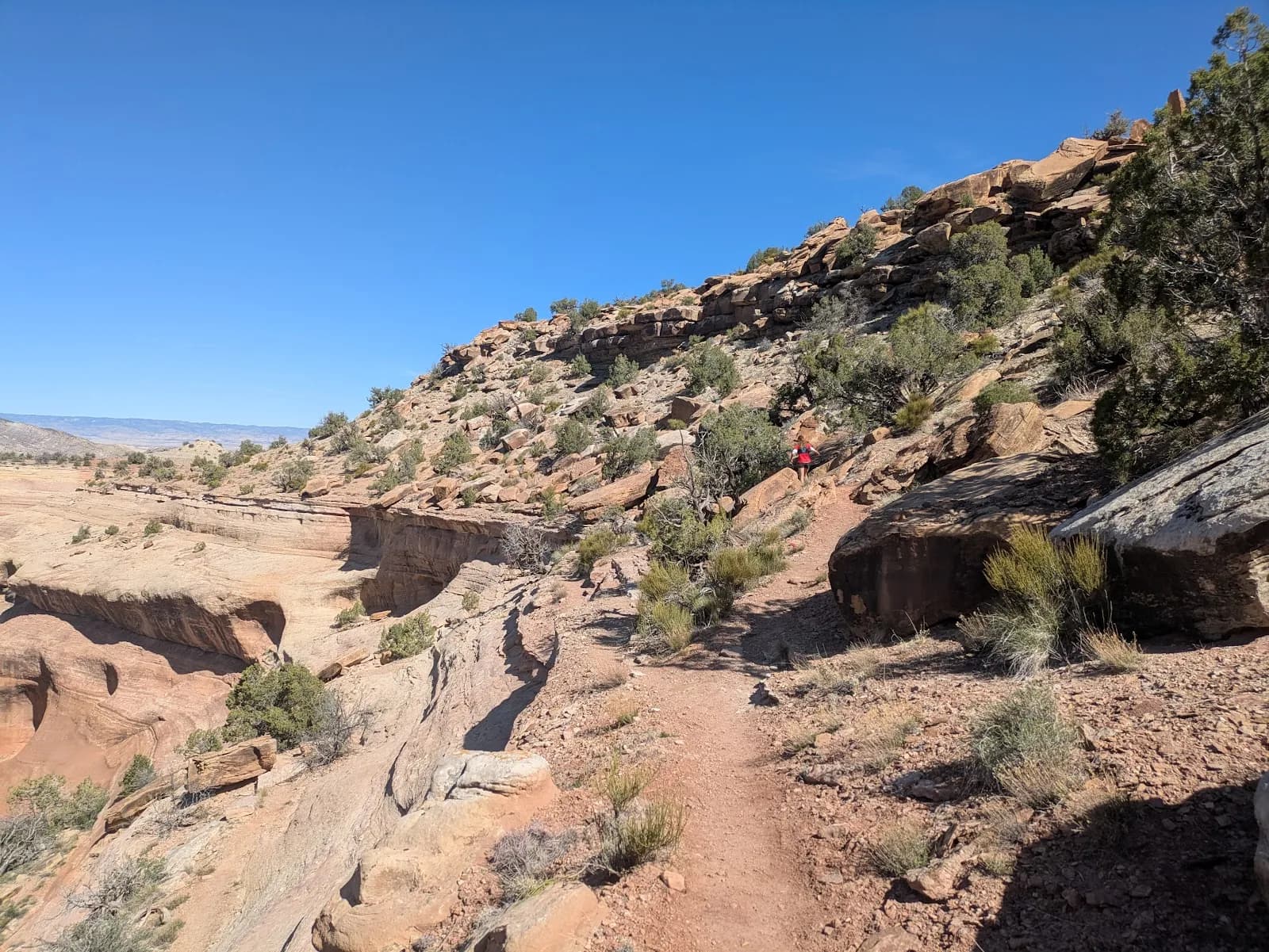
The Sarlacc Trail is a long, rugged hiking route in the North Fruita Desert, clinging to the slopes of the southern Bookcliffs. The trail offers views to the south toward the La Sal Mountains and to the north toward the Bookcliff peaks. It is primarily a singletrack that winds through juniper forest, climbing and falling with little overall elevation change for the first several miles. At approximately the 8-mile mark, the singletrack ends and transitions to an old two-track road that drops 1,070 feet via switchbacks to V 8/10 Road. Access is available from the Coal Gulch Trailhead off 18 Road. Hikers can approach from either the western or eastern end. The western approach involves a steep climb on a doubletrack road. The eastern start begins several miles further up the road. V 8/10 Road leading to the trailhead is rough and requires a high-clearance vehicle; it can be muddy after rain. Parking is available, but hikers should avoid blocking the side road to the gas well pad when parking at the eastern end. A vehicle shuttle is recommended for the full route. The trail is open year-round, though it closes from December 1 to May 1 to protect deer and elk wintering range. It is used by hikers, mountain bikers, and horses. Dogs are allowed but must be leashed. The trail surface is generally well-packed. Hikers may encounter fumes from a long-burning underground coal fire near the top of the two-track section, depending on wind direction. Spotted Towhees are common along the route. The trail is considered difficult due to its length and elevation gain/loss, with typical completion times ranging from 6 to 7 hours for hikers.
Trail profile
Gain
2,158 ft
Avg grade
4%
Steepest
12%
High point
6,640 ft
Good to know
Parking at the trailhead
Waypoints
Latest trail reportgood
Trail is in good condition. No significant obstacles or hazards reported.
Reported Mar 2, 2025Verified
What people say
Reviews
No reviews yet
Been here? Help the next person out.
Within 30 miles