Camping · Placerville, CO
Further Adventures
Before you go
Live · nearest station Telluride, 14 miStorms are nearly certain by the afternoon. Not a day for exposed ground.
Thunderstorms
Feels like 53°
Trailhead temp
58° est. at 7,312 ft
Storm chance
95% afternoon
Wind
0 mph
San Miguel River near Placerville is running 148 cfs.
Distance
—
Elevation gain
—
High point
7,312ft
Season
May - Sepin season
About
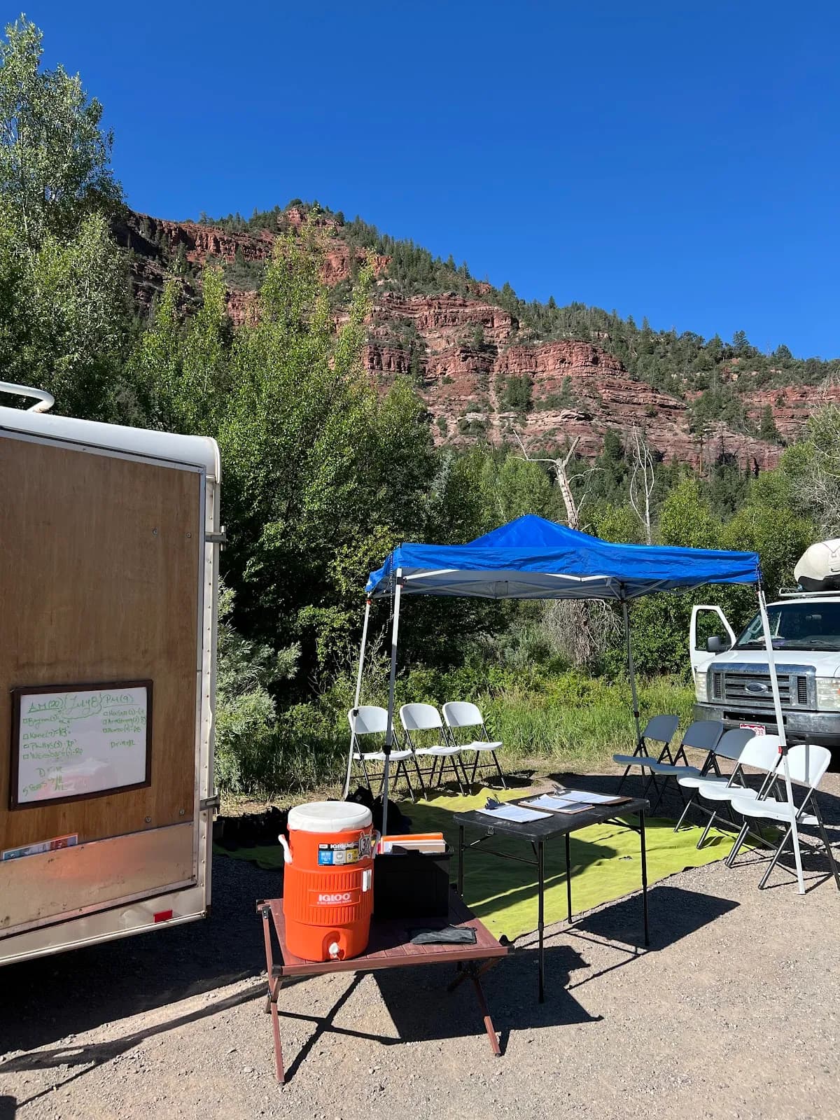
Further Adventures is a camping and white water rafting operation located at 160 Front St in Placerville, Colorado. Situated on the Western Slope just outside Telluride, the facility operates at an elevation of 7,312 feet. The site offers overnight camping trips that serve as extensions to their white water rafting services, specifically on the San Miguel River. Evidence indicates they offer half-day and full-day raft trips alongside overnight camping options suitable for groups, friends, and families. The location has been providing these services for approximately 20 years. Access to the site includes available parking. The typical duration of activities associated with this spot is about two hours, though the overnight camping trips provide multi-day experiences. The operational season runs from May through September. The difficulty level is classified as moderate, making it accessible for general outdoor use. Pets are permitted at the facility. Further Adventures distinguishes itself by rafting more sections of the San Miguel River than other guide services in the area. The setting is described as a pristine, high mountain free-flowing river within the San Juan Mountains. While specific amenities like electrical hookups are not explicitly detailed in the provided text, the presence of multiple RV parks and campgrounds in nearby Placerville suggests a context for recreational vehicle users. The site is currently subject to Critical Gold Mountain Fire evacuation orders, which local visitors should monitor before arrival.
Trail profile
Gain
—
Avg grade
—
Steepest
—
High point
7,312 ft
Good to know
Parking at the trailhead
Dogs allowed on leash
Waypoints
No waypoints mapped for this trail yet.
What people say
Reviews
No reviews yet
Been here? Help the next person out.
Within 30 miles
Nearby spots
Telluride Wranglers