Fall Hiking · Grand Junction, CO
Goldstar Trailhead
Before you go
Live · nearest station Grand Junction, 8 miGood window today.
Mostly Cloudy
Feels like 59°
Storm chance
2% overnight
Wind
0 mph
Gunnison River near Grand Junction is running 1,240 cfs and rising, water 63°.
Distance
—
Elevation gain
—
High point
4,804ft
Season
Sep - Novin season
About
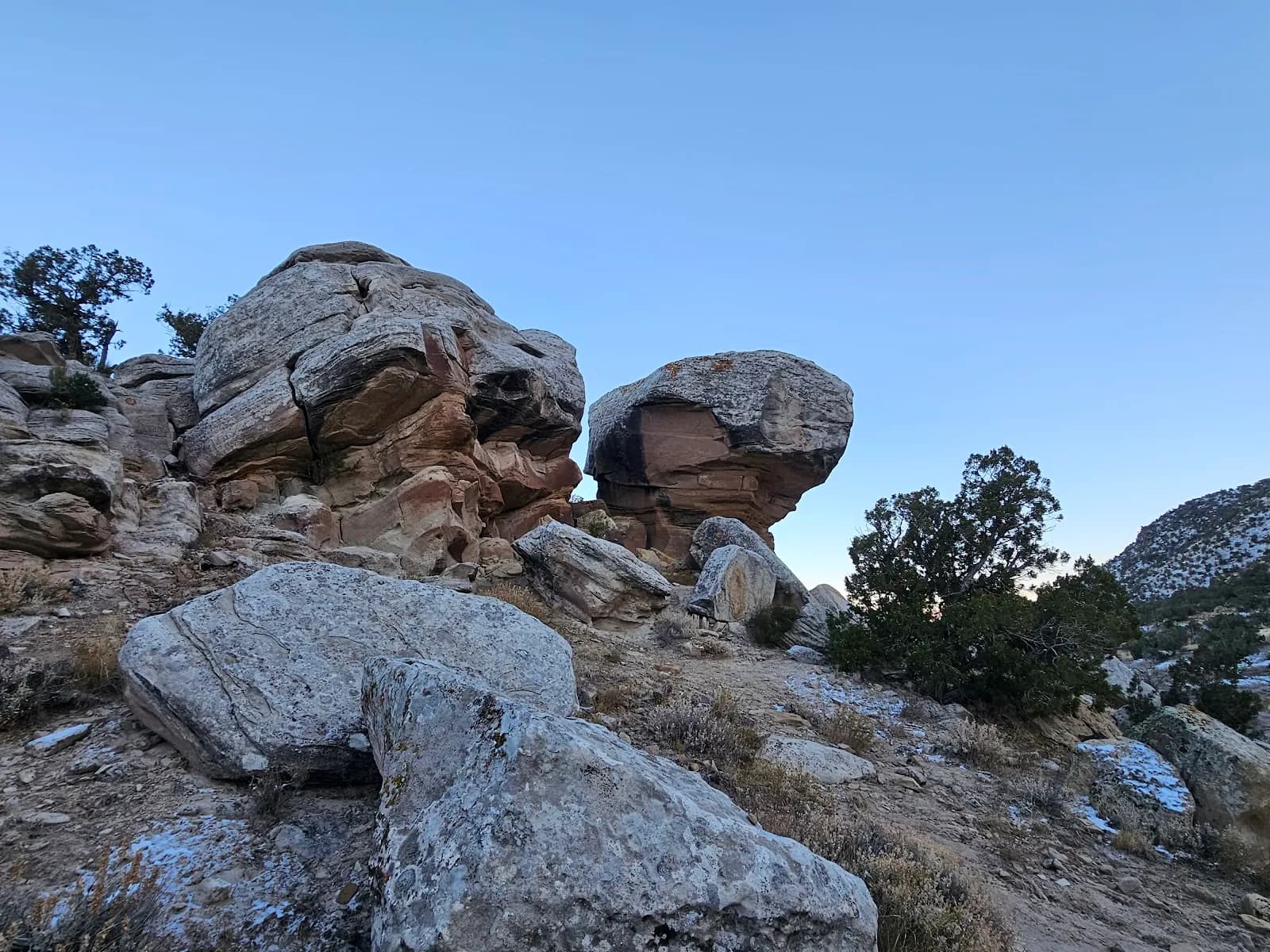
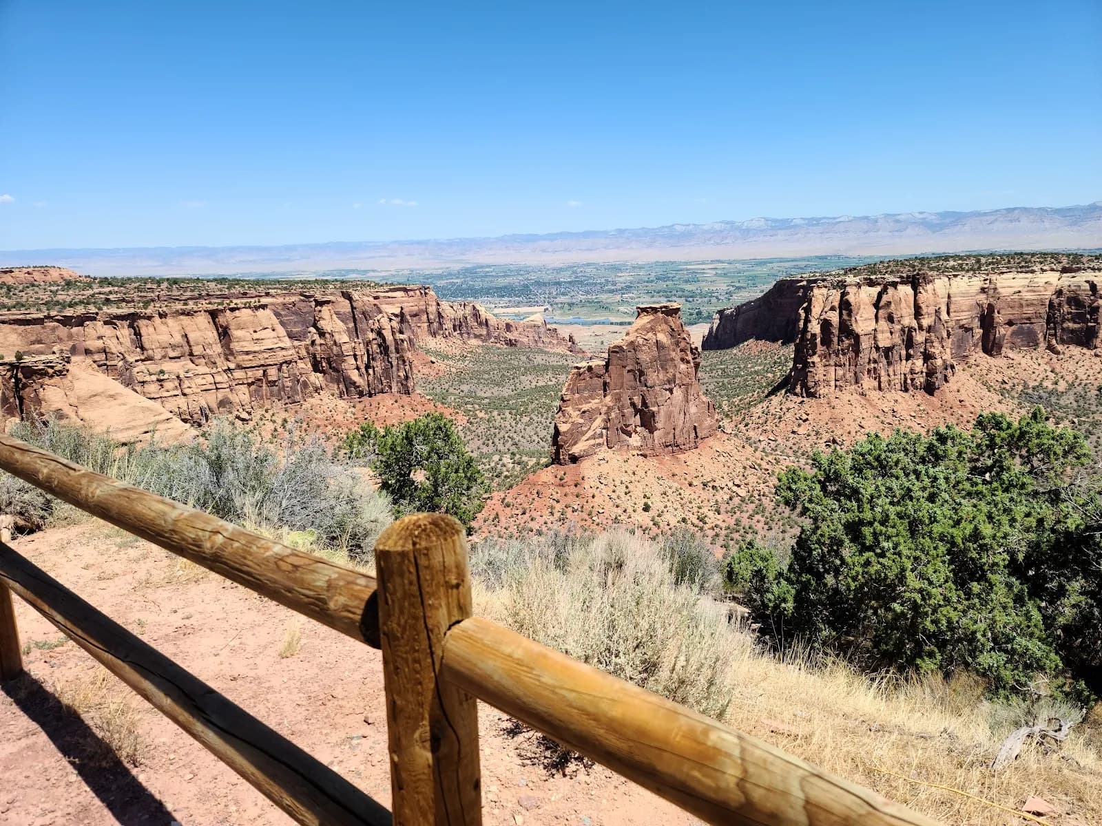
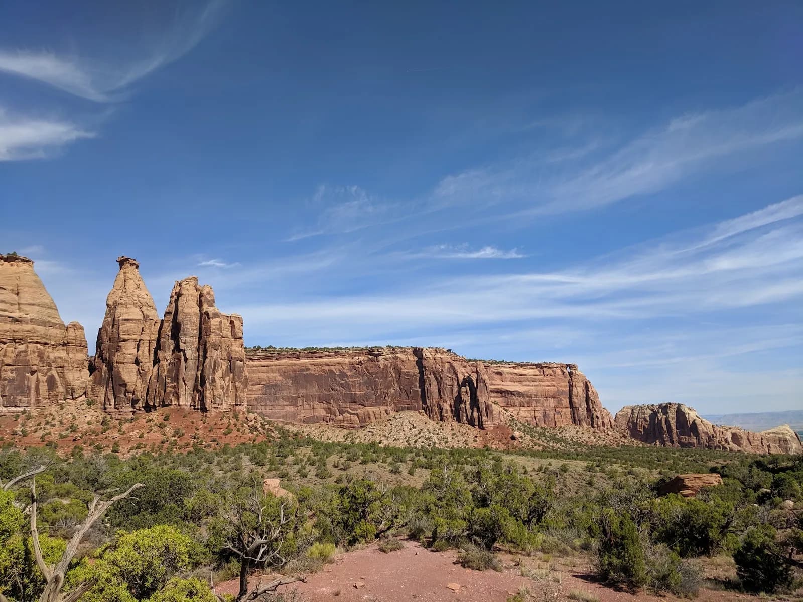
Goldstar Trailhead in Grand Junction, Colorado, serves as the access point for Gold Star Canyon within the Colorado National Monument. Located on the east side of Fruita, this moderate trail covers 2.8 miles and typically takes about two hours to complete. The route features an uphill climb with rugged terrain, passing through juniper trees and red rock formations. It is suitable for family hikes due to its manageable distance, though the elevation of 4,804 feet and steady incline require moderate physical effort. The trail is open for hiking from September through November, aligning with the local fall season. Parking and restrooms are available at the trailhead, and pets are permitted. Hikers should note that evacuation orders may be in effect for the Critical Gold Mountain Fire area, so checking current status before visiting is advised. The trail conditions are generally dry during the fall months.
Trail profile
Gain
—
Avg grade
—
Steepest
—
High point
4,804 ft
Good to know
Parking at the trailhead
Restrooms available
Dogs allowed on leash
Waypoints
No waypoints mapped for this trail yet.
What people say
Reviews
No reviews yet
Been here? Help the next person out.
Within 30 miles