Fall Hiking · Grand Junction, CO
White Rocks Trail
Before you go
Live · nearest station Grand Junction, 8 miGood window today.
Mostly Cloudy
Feels like 58°
Storm chance
2% overnight
Wind
0 mph
Gunnison River near Grand Junction is running 1,240 cfs and rising, water 63°.
Distance
—
Elevation gain
—
High point
4,872ft
Season
Sep - Novin season
About
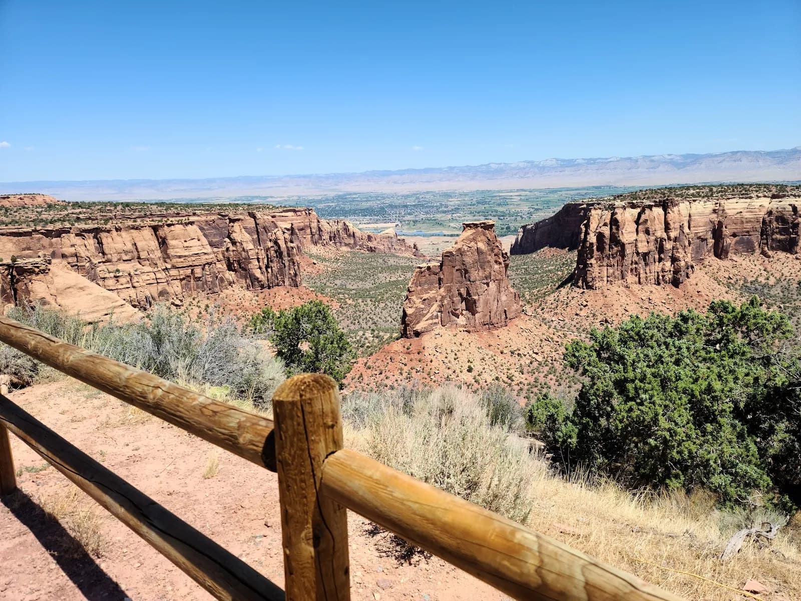
White Rocks Trail is a moderate hike in Colorado National Monument near Grand Junction, accessible from a residential area on South Broadway in the Redlands district. The trail leads to a rock outcrop featuring two panels of petroglyphs and one pictograph of a red deer. The hike is approximately 2.6 miles with an elevation gain between 4,819 and 4,862 feet, typically taking about two hours to complete. The trailhead is situated in a neighborhood setting, and parking is available. The site is pet friendly and allows for short, easy hikes to view the ancient rock art. Hikers should expect dry, rocky terrain and uneven footing. The area offers views of the monument's towers and is suitable for families and picnics. Cell service ranges from 3 to 5 bars.
Trail profile
Gain
—
Avg grade
—
Steepest
—
High point
4,872 ft
Good to know
Parking at the trailhead
Restrooms available
Dogs allowed on leash
Waypoints
No waypoints mapped for this trail yet.
What people say
Reviews
No reviews yet
Been here? Help the next person out.
Within 30 miles