Hiking · Delta, CO
Gorge(ous) 10-miler Loop
Before you go
Live · nearest station Delta County, 12 miGood window today.
Chance of Rain
Feels like 61°
Storm chance
23% afternoon
Wind
5 mph SSW
Uncompahgre River at Delta is running 514 cfs, water 58°.
Distance
10.2mi round trip
Elevation gain
1,485ft
High point
6,403ft
Season
Jan - Dec
About
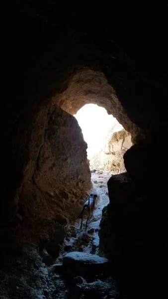
The Gorge(ous) 10-miler Loop is a difficult hiking route located in Delta, Colorado, on the Western Slope. The trail spans 10.2 miles with an elevation of approximately 4,957 to 7,080 feet. Hikers typically complete the loop in about seven hours. The route begins at the Eagle Valley Trailhead, which is accessible to any vehicle. The path enters a slate rock canyon before rising via Eagle Road, which constitutes the major elevation gain of the hike. From the top of this ascent, the trail connects to the Red Rocks/Nighthorse Trail. This segment offers views of the San Juan Mountains to the south, Grand Mesa, and the Gunnison Canyon. The loop continues through Bobcat Trailhead, descends via Bobcat Road, and connects with the Sidewinder Trail before returning to Eagle Valley. Parking is available at the start point. The trail is open year-round, from January to December, and is rated as difficult or intermediate-to-difficult due to its length and elevation changes.
Trail profile
Gain
1,485 ft
Avg grade
3%
Steepest
7%
High point
6,403 ft
Good to know
Parking at the trailhead
Waypoints
Latest trail reportgood
Trail is in good condition. No significant obstacles or hazards reported.
Reported Mar 2, 2025Verified
What people say
Reviews
No reviews yet
Been here? Help the next person out.
Within 30 miles