Hiking · Aspen, CO
Government Trail
Before you go
Live · nearest station Aspen, 0 miGood window today. Daylight to 7:02 pm.
Thunderstorms
Feels like 62°
Storm chance
32% afternoon
Wind
5 mph NNW
UV index
0.3 low
Sun window
6:56 am to 7:02 pm
Distance
10.5mi round trip
Elevation gain
2,739ft
High point
10,518ft
Season
Jan - Dec
About
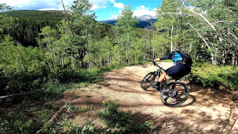
The Government Trail is a 9.8-mile point-to-point hiking and mountain biking route connecting Aspen to Snowmass via Buttermilk. The trail begins behind the baseball fields at the Recreation Center, crosses Maroon Creek on a pedestrian bridge, and ascends steeply through switchbacks into the Buttermilk Ski Area. From there, it traverses rolling terrain through aspen groves, lodgepole pine forests, and open ski meadows before ending at Snowmass Ski Area. The route is known for technical sections, including rocky 'rock gardens' and a notable feature called 'The Root,' a large tree on a switchback. The trail is closed annually from May 15 to June 20 for elk calving. While accessible year-round, it is a popular cross-country ski trail in winter. Parking is available on Elk Camp Work Road near the start. A car shuttle is recommended because the trail is not a loop.
Trail profile
Gain
2,739 ft
Avg grade
5%
Steepest
15%
High point
10,518 ft
Good to know
Parking at the trailhead
Waypoints
Latest trail reportgood
Trail is in good condition. No significant obstacles or hazards reported.
Reported Mar 2, 2025Verified
What people say
Reviews
No reviews yet
Been here? Help the next person out.
Within 30 miles