Hiking · Cedaredge, CO
Grand Mesa Scenic Byway
Before you go
Live · nearest station Delta County, 22 miGood window today.
Cloudy
Feels like 64°
Trailhead temp
45° est. at 10,368 ft
Storm chance
17% tonight
Wind
5 mph SSE
Distance
—
Elevation gain
—
High point
10,368ft
Season
Jan - Dec
About
The Grand Mesa Scenic Byway is a 63-mile paved route connecting Cedaredge and Mesa, Colorado, within the Grand Mesa National Forest. The road climbs from the Plateau Creek canyon floor to an elevation of approximately 11,000 feet. It is designated as a National Scenic Byway and is open to two-wheel-drive vehicles year-round. The drive typically takes between 90 minutes and two hours, depending on stops at the Lands End Overlook. Hiking opportunities are available along the route with well-marked trailheads and ample parking. The area contains over 300 stream-fed lakes, supporting fishing for rainbow, cutthroat, and brook trout. Wildlife such as elk, deer, mountain lions, and coyotes are present. The byway passes through multiple ecological zones, featuring evergreen forests, aspen groves, and wildflower meadows. Services between Cedaredge and Mesa are limited, though campgrounds with picnic tables, fire pits, water, and latrines exist along the route. The byway is free to travel.
Trail profile
Gain
—
Avg grade
—
Steepest
—
High point
10,368 ft
Good to know
Parking at the trailhead
Dogs allowed on leash
Waypoints
No waypoints mapped for this trail yet.
What people say
Reviews
No reviews yet
Been here? Help the next person out.
Within 30 miles
Nearby spots
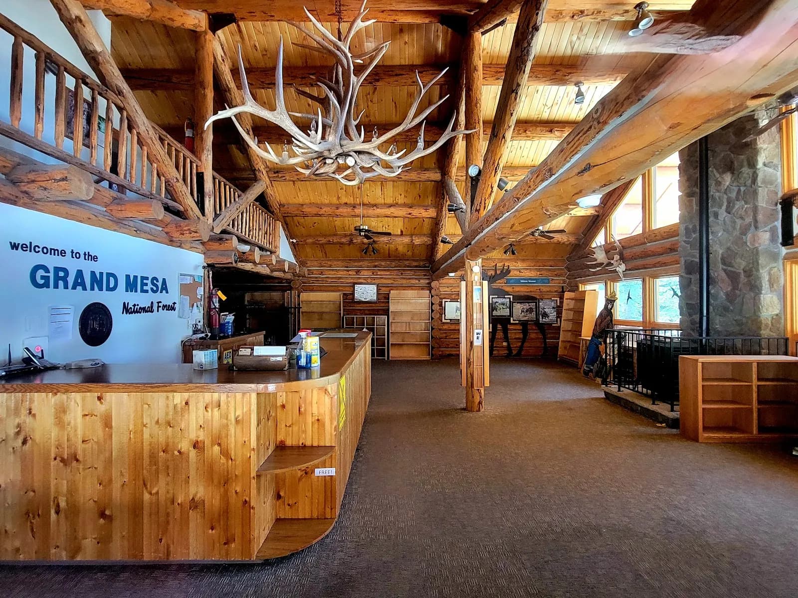
Grand Mesa Visitor Center - Grand Valley RD
