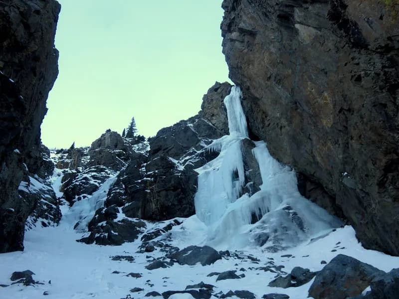
Hiking · Silverton, CO
Graysill Creek Trail
Before you go
Live · nearest station Telluride, 10 miStorms build later today. Plan an early finish.
Thunderstorms
Feels like 46°
Trailhead temp
43° est. at 10,161 ft
Storm chance
58% tonight
Wind
5 mph E
Distance
2.3mi round trip
Elevation gain
458ft
High point
10,161ft
Season
Jan - Dec
About
Graysill Creek Trail, also known as Graysill Trail #506, is a 2.3 to 2.4-mile point-to-point hiking route in the San Juan National Forest near Silverton and Rico, Colorado. The trail connects Cascade Creek Trail #510 to the Colorado Trail (Rico-Silverton Road). It is classified as difficult, with an elevation gain of approximately 1,770 feet and a typical duration of two hours. The trailhead is accessible from the Cascade Creek Parking Area off Highway 550, roughly 28.5 miles north of Durango. Hikers turn left onto Forest Service Road 783, follow it for three-quarters of a mile to a small parking area on the left, and cross a road to begin the singletrack. The start of the trail is noted as somewhat vague, with a small sign that is easy to miss. The route heads up a north-facing slope through old timber cuts, passes over Cascade Divide FR #579, and ends at the intersection with the Colorado Trail. The trail is used for hiking, biking, and running, offering a connection to the broader High Country trails system. Parking is available at the trailhead.
Trail profile
Gain
458 ft
Avg grade
4%
Steepest
2%
High point
10,161 ft
Good to know
Parking at the trailhead
Waypoints
Latest trail reportgood
Trail is in good condition. No significant obstacles or hazards reported.
Reported Mar 2, 2025Verified
What people say
Reviews
No reviews yet
Been here? Help the next person out.
Within 30 miles