Hiking · Silverton, CO
Vestal Basin Trail
Before you go
Live · nearest station Telluride, 10 miStorms are likely above treeline tonight. Start early and be off the ridge by midday.
Chance of Rain
Feels like 45°
Trailhead temp
38° est. at 11,410 ft
Storm chance
50% tonight
Wind
5 mph ESE
Distance
2.1mi round trip
Elevation gain
1,079ft
High point
11,410ft
Season
Jan - Dec
About
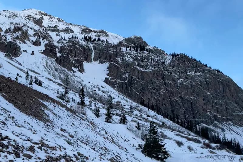
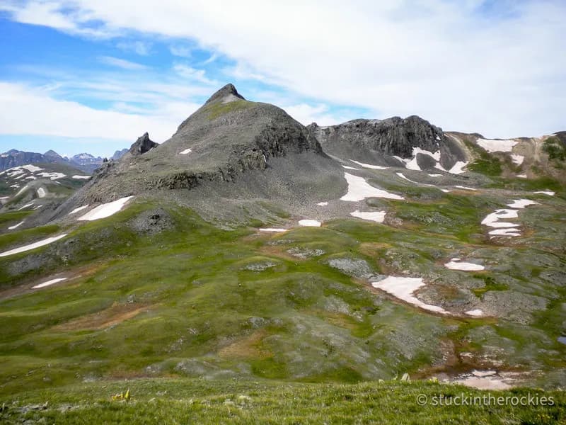
The Vestal Basin Trail is a difficult hiking route located near Silverton in the San Juan Mountains. It serves as the primary approach to Vestal Peak and other summits in the Grenadier Range. The trail connects to the Colorado Trail and Elk Creek Trail #503, starting near Molas Pass. Hikers follow the route into Vestal Basin, which contains Vestal, Arrow, and Trinity Peaks. The path offers views of Molas Lake and follows the Animas River for part of its length. The trail reaches an elevation of 11,410 feet. It is accessible year-round from January through December. Winter conditions often require additional gear due to snow and ice. Parking is available at the trailhead.
Trail profile
Gain
1,079 ft
Avg grade
10%
Steepest
6%
High point
11,410 ft
Good to know
Parking at the trailhead
Waypoints
Latest trail reportgood
Trail is in good condition. No significant obstacles or hazards reported.
Reported Mar 2, 2025Verified
What people say
Reviews
No reviews yet
Been here? Help the next person out.
Within 30 miles