Hiking · Silverton, CO
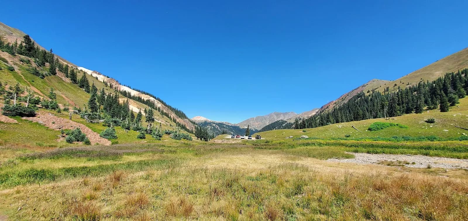
Cunningham Gulch - CDT Loop
Before you go
Live · nearest station Telluride, 10 miStorms are likely above treeline tonight. Start early and be off the ridge by midday.
Thunderstorms
Feels like 50°
Trailhead temp
38° est. at 12,138 ft
Storm chance
50% tonight
Wind
5 mph ENE
Distance
15.97mi round trip
Elevation gain
1,985ft
High point
12,927ft
Season
Jan - Dec
About
The Cunningham Gulch - CDT Loop is a 15.97-mile difficult hike located near Silverton, Colorado, in the Weminuche Wilderness. The route begins by climbing the eastern wall of Cunningham Gulch, gaining nearly 3,000 feet to crest the ridgeline. This initial ascent is steep and marked by infrequent trail markers and occasional cairns. Once the trail connects with the Continental Divide Trail (CDT) and Colorado Trail (CT), the terrain levels out, offering clear views of Mount Rhonda, Kendall Peak, and Little Giant Peak. The loop concludes by descending via the Highland Mary Lakes Trail #606 back to the trailhead. The trail is managed by the BLM and USFS, with specific segments under the Gunnison Field Office and Columbine Ranger District. Parking is available at the trailhead, which features a pit toilet. The route is suitable for hiking and horses, allows leashed dogs, but does not permit bikes. Total elevation gain is approximately 4,023 feet, reaching a high point of 12,138 feet. The hike typically takes about 11 hours to complete.
Trail profile
Gain
1,985 ft
Avg grade
2%
Steepest
7%
High point
12,927 ft
Good to know
Parking at the trailhead
Restrooms available
Waypoints
Latest trail reportgood
Trail is in good condition. No significant obstacles or hazards reported.
Reported Mar 2, 2025Verified
What people say
Reviews
No reviews yet
Been here? Help the next person out.
Within 30 miles