Fall Hiking · Silverton, CO
Velocity Basin
Before you go
Live · nearest station Telluride, 10 miStorms are likely above treeline tonight. Start early and be off the ridge by midday.
Thunderstorms
Feels like 46°
Trailhead temp
39° est. at 11,306 ft
Storm chance
50% tonight
Wind
5 mph E
Distance
—
Elevation gain
—
High point
11,306ft
Season
Sep - Novin season
About
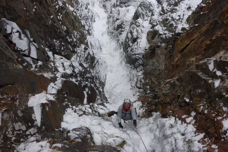
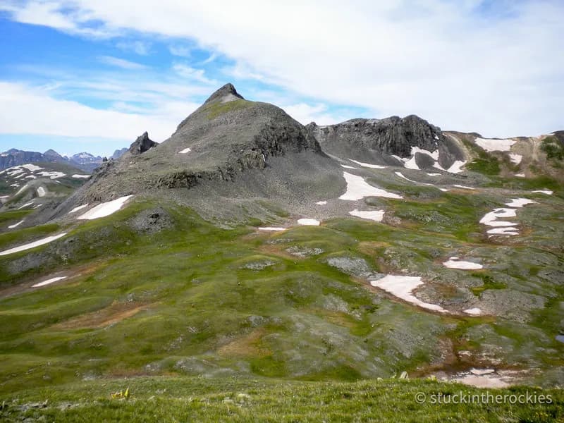
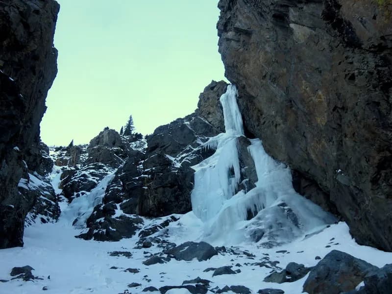
Velocity Basin is a cirque basin located in Silverton, Colorado, featuring a small turquoise lake at its base. The site sits at an elevation of 11,306 feet on the east-facing slope of Silverton Mountain Ski Area. Access is provided via County Road 52, which serves as a rocky four-wheel-drive road leading to the basin. The trailhead begins at approximately 11,327 feet and climbs roughly 1,910 feet to the ridge line. The route is classified as moderate and typically takes about two hours to complete. Hikers encounter a steep, grassy ascent with unmarked paths that can make wayfinding difficult. The area is known for aspen foliage and glacier-fed waters, with conditions shifting toward snow and ice from September through November. Parking is available near the trailhead, and pets are permitted on the hike.
Trail profile
Gain
—
Avg grade
—
Steepest
—
High point
11,306 ft
Good to know
Parking at the trailhead
Restrooms available
Dogs allowed on leash
Waypoints
No waypoints mapped for this trail yet.
What people say
Reviews
No reviews yet
Been here? Help the next person out.
Within 30 miles