Hiking · Silverton, CO
Highland Mary Lakes Loop
Before you go
Live · nearest station Telluride, 13 miStorms build later today. Plan an early finish.
Thunderstorms
Feels like 54°
Trailhead temp
47° est. at 10,630 ft
Storm chance
58% tonight
Wind
5 mph NE
UV index
0 low
Sun window
6:59 am to 7:05 pm
Distance
7.8mi round trip
Elevation gain
1,722ft
High point
12,568ft
Season
Jan - Dec
About
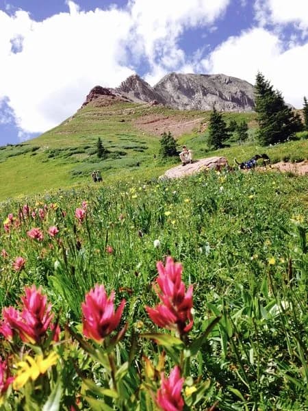
The Highland Mary Lakes Loop is a 7.8-mile difficult hike located near Silverton, Colorado, within the Weminuche Wilderness. The trail begins at a parking area and follows Cunningham Creek past a junction with the Cunningham Gulch Trail. Hikers climb approximately 1,000 feet to treeline before entering an open, treeless alpine basin. The route connects with the Continental Divide Trail and offers views of the Needle Mountains. The loop returns via the Highland Mary Lakes Trail, passing through meadows with wildflowers in late summer. The trail features steep grades, frequent stream crossings, and variable weather conditions. Water is abundant but should be filtered due to Giardia. Camping is permitted in the basin, though regulations prohibit staying within 100 feet of streams or lakes. Wayfinding above treeline can be challenging, and a GPS is recommended to avoid backtracking on faint sections of the trail.
Trail profile
Gain
1,722 ft
Avg grade
4%
Steepest
6%
High point
12,568 ft
Good to know
Parking at the trailhead
Waypoints
Latest trail reportgood
Trail is in good condition. No significant obstacles or hazards reported.
Reported Mar 2, 2025Verified
What people say
Reviews
No reviews yet
Been here? Help the next person out.
Within 30 miles