Rock Climbing · Silverton, CO
Highway to Hell
Before you go
Live · nearest station Telluride, 9 miStorms are likely above treeline tonight. Start early and be off the ridge by midday.
Thunderstorms
Feels like 46°
Trailhead temp
38° est. at 11,555 ft
Storm chance
58% tonight
Wind
5 mph E
Distance
—
Elevation gain
52ft
High point
11,581ft
Season
Jan - Dec
About
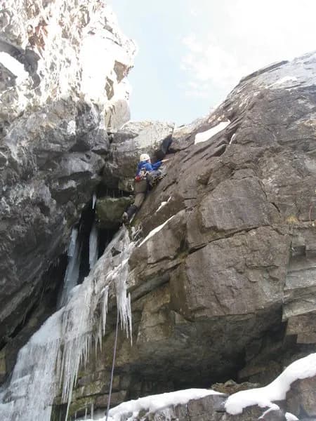
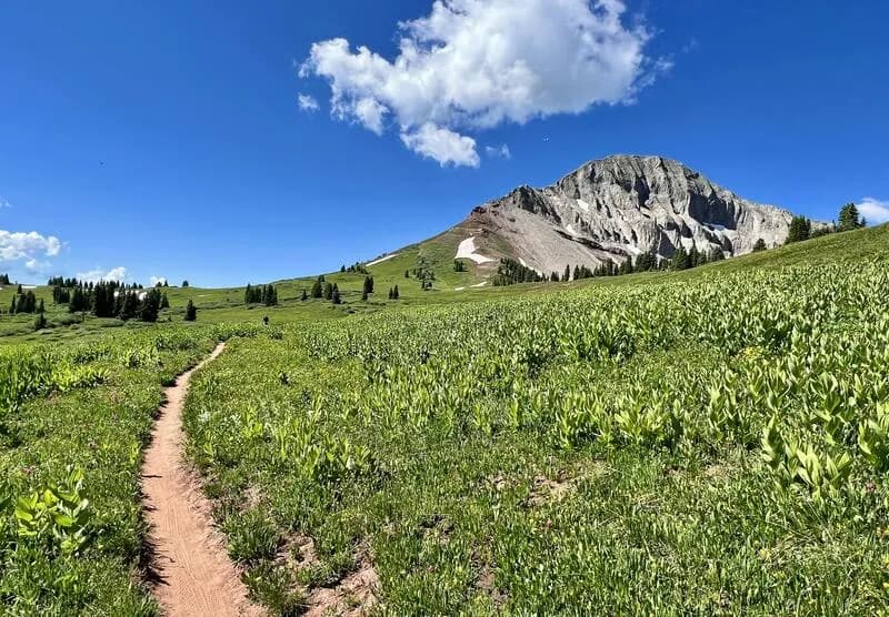
Highway to Hell is an ice climbing route located in the Eureka area, just outside Silverton, Colorado. It is classified as a WI4+ climb on a face approximately 244 meters (roughly 800 feet) long. The climb consists of several pitches, with the lower sections described as easy WI2-3 ice steps. The approach involves a steep slog over snow-covered scree, which can be physically demanding. The route is situated on the western flanks of Peak 13,419, a sub-peak of Niagara Peak, northeast of the former Outward Bound Hotel, now the Eureka Lodge. Parking is available on site, and the area is pet friendly. Climbing is generally accessible from January through December, though conditions vary. The broader Silverton area offers about 40 established routes across crags like Cunningham Gulch and Trainrobber Wall, with best climbing from late spring to fall.
Trail profile
Gain
52 ft
Avg grade
—
Steepest
—
High point
11,581 ft
Good to know
Parking at the trailhead
Dogs allowed on leash
Waypoints
Latest trail reportgood
Spring climbing conditions. Route may be wet after rainfall. Check weather forecast before climbing.
Reported Mar 4, 2025Verified
What people say
Reviews
No reviews yet
Been here? Help the next person out.
Within 30 miles