Rock Climbing · Silverton, CO
Hoser's Highway
Before you go
Live · nearest station Telluride, 9 miStorms are likely above treeline tonight. Start early and be off the ridge by midday.
Thunderstorms
Feels like 46°
Trailhead temp
40° est. at 11,043 ft
Storm chance
50% tonight
Wind
5 mph E
UV index
0 low
Sun window
6:59 am to 7:05 pm
Distance
—
Elevation gain
59ft
High point
11,043ft
Season
Jan - Dec
About
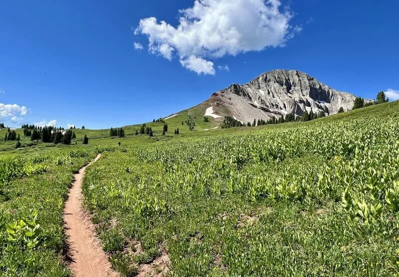
Hoser's Highway is a 900-foot, Grade IV ice route located on the northern side of Peak 13,419 near Silverton, Colorado. The climb consists of four steep sections of ice with minimal slogging between them, situated within two parallel gullies. The right-hand gully is slightly more difficult than the left. The left gully features a thin pillar crux midway up, while the right gully's crux is located higher near the summit. Early-season conditions may include a small section of mixed climbing if ice has not fully formed. Protection requires screws of various sizes, and some rock protection may be useful. Access involves two options: Option 1 is a long approach up and left across a snow slope with a small grove of aspens to drop into the gully below the climb. Option 2 is the recommended route, involving walking up the road to the base of the climb, crossing the river on an avalanche debris pile, and wallowing up the gully. Climbers should check avalanche conditions before using Option 2. Descent is typically done by walking off to the left, though rapping on v-threads is an alternative. GPS coordinates are 37.8808, -107.5666.
Trail profile
Gain
59 ft
Avg grade
—
Steepest
—
High point
11,043 ft
Good to know
Parking at the trailhead
Dogs allowed on leash
Waypoints
Latest trail reportgood
Spring climbing conditions. Route may be wet after rainfall. Check weather forecast before climbing.
Reported Mar 4, 2025Verified
What people say
Reviews
No reviews yet
Been here? Help the next person out.
Within 30 miles