Mountain Biking · Rifle, CO
Hogback Highway
Before you go
Live · nearest station Glenwood Springs, 24 miGood window today.
Mostly Cloudy
Feels like 60°
Storm chance
6% tonight
Wind
5 mph E
Distance
1.1mi round trip
Elevation gain
222ft
High point
6,095ft
Season
Apr - Octpeak now
About
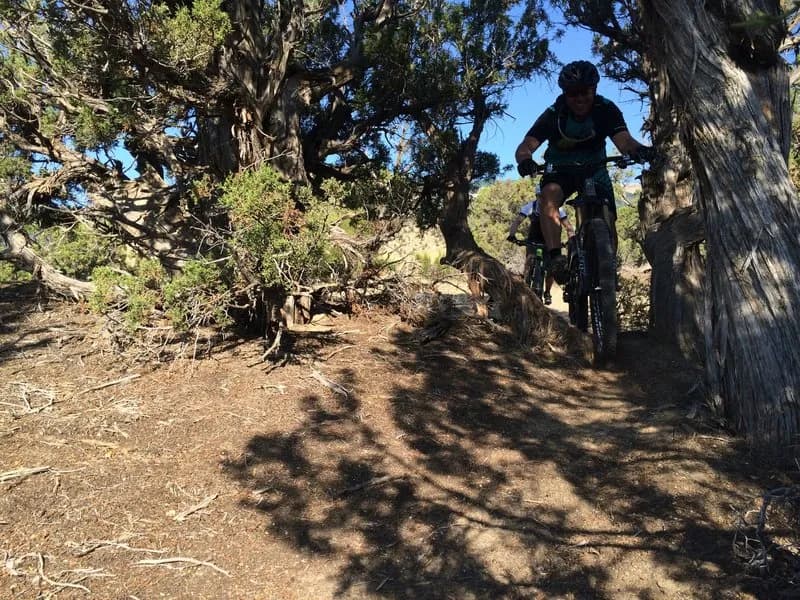
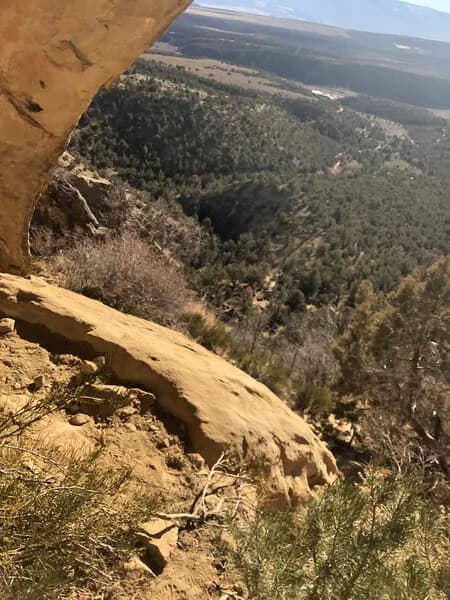
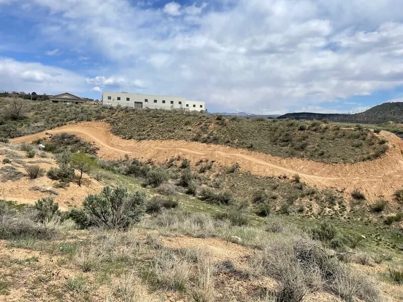
The Hogback Highway is a 1.1-mile singletrack mountain biking trail located in Rifle, Colorado, situated approximately seven miles north of downtown off Highway 13. The trailhead begins at the GHT/Rifle Arch parking lot, providing convenient access for riders. Classified as a moderate or blue difficulty route, the trail serves primarily as a climbing connector to other popular lines including Watchtower, Miller High Life, and Wall Street. The surface is machine-built dirt, featuring a pleasant undulating climb with switchbacks leading to the first mesa. The terrain includes desert vegetation such as juniper, pinion pine, and cactus. At the summit, the trail splits; continuing left keeps riders on the Hogback Highway, while a right turn connects to Haze and Watchtower. The route passes through meadows and moderate rim riding before descending into a gully where two-way traffic is common. A second junction offers access to Miller High Life, and the trail ends at a doubletrack connection near Wall Street. The elevation is 6,095 feet. The trail is accessible from April through October, with a winter closure typically running from December 1 to April 15. The average ride duration is approximately 12 to 16 minutes. Pets are permitted on the trail.
Trail profile
Gain
222 ft
Avg grade
4%
Steepest
5%
High point
6,095 ft
Good to know
Parking at the trailhead
Dogs allowed on leash
Waypoints
Latest trail reportgood
Trail is in good condition. Traction is good with minimal obstacles.
Reported Mar 2, 2025Verified
What people say
Reviews
No reviews yet
Been here? Help the next person out.
Within 30 miles