Hiking · Grand Junction, CO
Holy Cross Trail
Before you go
Live · nearest station Grand Junction, 3 miGood window today.
Mostly Cloudy
Feels like 69°
Storm chance
5% tonight
Wind
5 mph SE
Gunnison River near Grand Junction is running 1,160 cfs, water 65°.
Distance
2.67mi round trip
Elevation gain
62ft
High point
4,744ft
Season
Jan - Dec
About
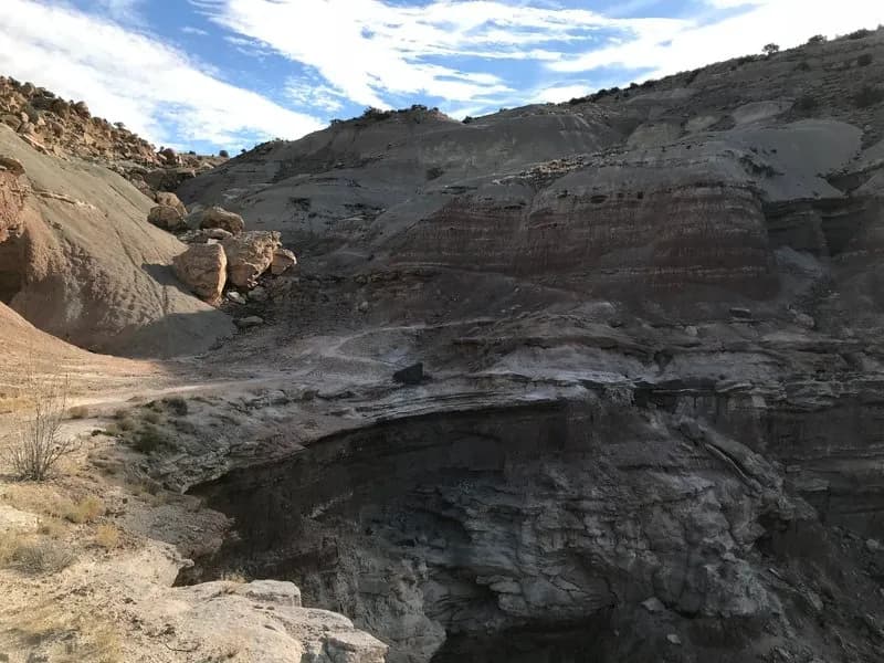
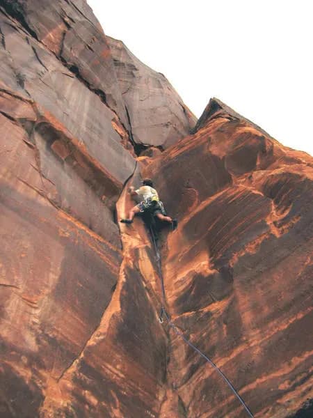
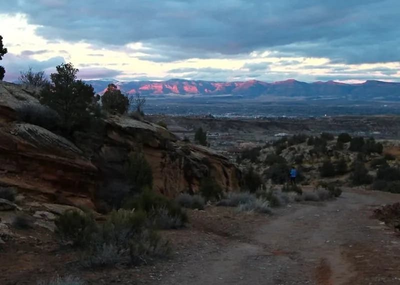
The Holy Cross Trail is a 2.67-mile hiking route in Grand Junction, Colorado, located within the Tabeguache Lunch Loop Trail System off Monument Road. The trail climbs 1,585 feet in elevation, resulting in a difficult rating for hikers. The route traverses red sandstone terrain and features slick rock obstacles, fun-drop ledges, short steep climbs, and tricky rock descents. Surface conditions are primarily dirt and gravel, with sections that can become narrow. The environment is a desert setting offering minimal shade, so hikers should bring water, sunglasses, and a hat. While the trail is accessible year-round from January through December, winter conditions may require additional preparation. Parking is available at the trailhead, though there are no restrooms on site. The typical duration for completing the hike is approximately two hours.
Trail profile
Gain
62 ft
Avg grade
0%
Steepest
1%
High point
4,744 ft
Good to know
Parking at the trailhead
Waypoints
Latest trail reportgood
Trail is in good condition. No significant obstacles or hazards reported.
Reported Mar 2, 2025Verified
What people say
Reviews
No reviews yet
Been here? Help the next person out.
Within 30 miles