Hiking · Grand Junction, CO
The Ribbon
Before you go
Live · nearest station Grand Junction, 2 miGood window today.
Mostly Cloudy
Feels like 66°
Storm chance
5% tonight
Wind
5 mph E
Gunnison River near Grand Junction is running 1,150 cfs, water 65°.
Distance
2.98mi round trip
Elevation gain
193ft
High point
4,780ft
Season
Jan - Dec
About
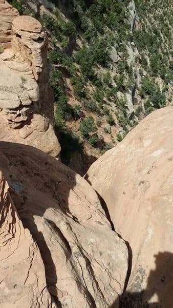
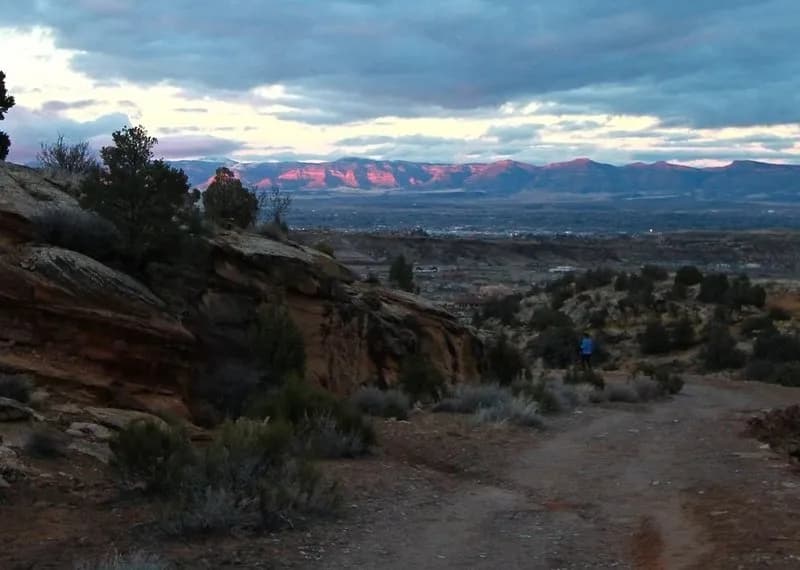
The Ribbon is a 6.7-mile out-and-back hiking trail located in the Lunch Loops area of Grand Junction, Colorado, within Bangs Canyon Recreation Area. The trail begins at the Little Park Road trailhead and descends approximately 1,000 feet into a canyon before dead-ending at a dry waterfall. Hikers then backtrack half a mile to connect with the Little Park Trail, which leads back to the trailhead. The route is characterized by slickrock terrain, steep inclines, and uneven surfaces, requiring moderate to high physical fitness. Notable geological features include Independence Monument and the Kissing Couple rock formation, with views extending over the Colorado River and Grand Valley. The trail is open year-round and is popular for hiking, mountain biking, and birding. Conditions can be hot with little shade in the summer, so hikers should carry plenty of water. The trail is suitable for dogs and typically receives light foot traffic.
Trail profile
Gain
193 ft
Avg grade
1%
Steepest
2%
High point
4,780 ft
Good to know
Parking at the trailhead
Waypoints
Latest trail reportgood
Trail is in good condition. No significant obstacles or hazards reported.
Reported Mar 2, 2025Verified
What people say
Reviews
No reviews yet
Been here? Help the next person out.
Within 30 miles