Hiking · Grand Junction, CO
Kodels Canyon Route
Before you go
Live · nearest station Grand Junction, 0 miGood window today.
Chance of Rain
Feels like 65°
Wind
5 mph ESE
Gunnison River near Grand Junction is running 1,170 cfs, water 62°.
Distance
0.9mi round trip
Elevation gain
391ft
High point
5,155ft
Season
Jan - Dec
About
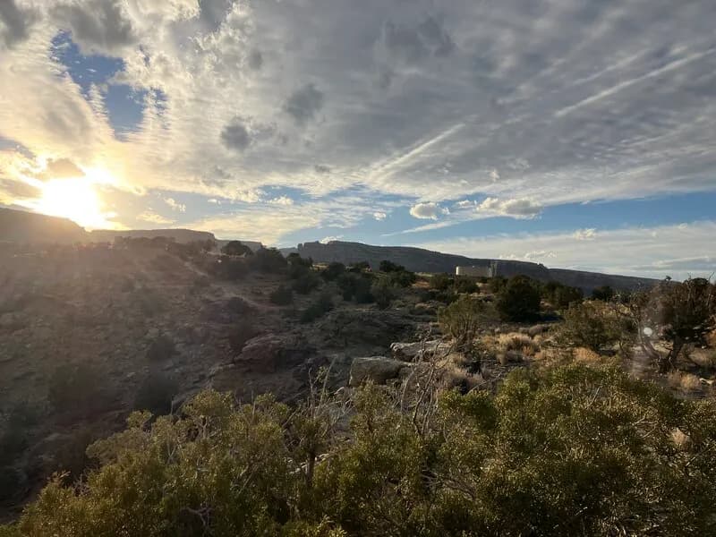
The Kodels Canyon Route is a 0.9-mile point-to-point hiking trail near Grand Junction, Colorado, situated west of the West Entrance to the Colorado National Monument. The trailhead is accessible via Highway 340, located just past Kingsview Road and before Dinosaur Hill. Parking is available at the start of the route. The trail begins with a descent into the wash, followed by an ascent toward Kodel's Canyon. A key feature along the path is a wire-closed cave used by historical miners, visible near the top of the trail. The route offers views of the distant BookCliff Mountains upon reaching the upper sections. The terrain includes steep inclines and uneven ground, contributing to its difficult rating. Hikers typically complete the route in approximately one hour. The trail is open year-round and allows dogs on leashes, though specific signage regarding pets in the adjacent Colorado National Monument may vary. Cell service is generally available with 3 to 5 bars at the trailhead.
Trail profile
Gain
391 ft
Avg grade
8%
Steepest
8%
High point
5,155 ft
Good to know
Parking at the trailhead
Waypoints
Latest trail reportgood
Trail is in good condition. No significant obstacles or hazards reported.
Reported Mar 2, 2025Verified
What people say
Reviews
No reviews yet
Been here? Help the next person out.
Within 30 miles
Nearby spots