Hiking · Telluride, CO
La Junta Basin Trail
Before you go
Live · nearest station Telluride, 2 miStorms are likely above treeline by the afternoon. Start early and be off the ridge by midday.
Thunderstorms
Feels like 55°
Trailhead temp
46° est. at 11,293 ft
Storm chance
71% afternoon
Wind
5 mph NNE
UV index
0.1 low
Sun window
6:59 am to 7:06 pm
Distance
15.72mi round trip
Elevation gain
880ft
High point
12,520ft
Season
Jan - Dec
About
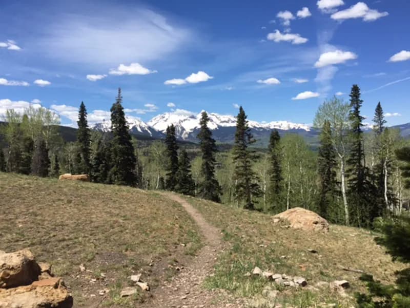
The La Junta Basin Trail is a 15.72-mile difficult hike located in Telluride, Colorado, on the Western Slope. The route begins at the Bear Creek Reserve and follows the Bear Creek Falls Trail before turning left to cross a creek. The path ascends through dense woods, passing large conglomerate cliffs and historic mining equipment. Hikers encounter steep switchbacks, creek crossings, and sections of loose gravel and rock. The trail is less popular than nearby routes, resulting in variable maintenance with potential downed trees and rock slides. The destination is La Junta Basin, featuring an alpine lake and views of La Junta Peak and Wasatch Mountain. The trail is open year-round, with parking available at the start. Completion typically requires about 10 hours.
Trail profile
Gain
880 ft
Avg grade
1%
Steepest
2%
High point
12,520 ft
Good to know
Parking at the trailhead
Waypoints
Latest trail reportgood
Trail is in good condition. No significant obstacles or hazards reported.
Reported Mar 2, 2025Verified
What people say
Reviews
No reviews yet
Been here? Help the next person out.
Within 30 miles