Hiking · Telluride, CO
Ridge Trail
Before you go
Live · nearest station Telluride, 2 miStorms are likely above treeline by the afternoon. Start early and be off the ridge by midday.
Thunderstorms
Feels like 55°
Trailhead temp
44° est. at 11,772 ft
Storm chance
66% afternoon
Wind
5 mph NW
Distance
1.68mi round trip
Elevation gain
2,342ft
High point
11,942ft
Season
Jan - Dec
About
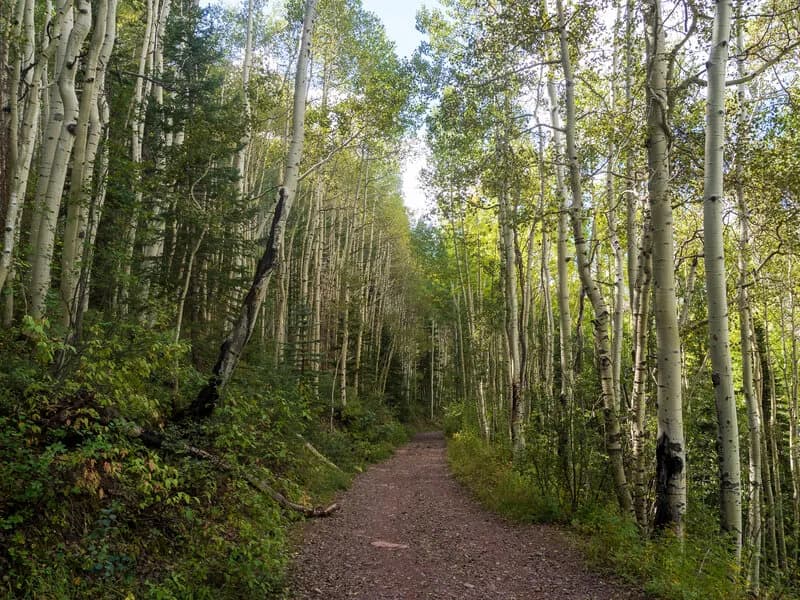
The Ridge Trail is a hiking-only route within the Telluride Ski Area in Western Colorado. It connects the Mountain Village Base Area to the San Sophia Gondola Station at the summit of Coonskin Mountain. The trail spans approximately 1.7 to 2 miles and involves a steady climb of roughly 1,000 feet. Hikers follow switchbacks through aspen forests and rocky terrain to reach the ridge. The route offers views of the Telluride Valley, particularly near a viewpoint just past the Coonskin Mountain summit. Parking is available at the trailhead, and the free gondola provides transportation options for returning to Mountain Village. The trail is accessible year-round, with winter conditions supporting snowshoeing. It is considered difficult due to the steep ascent and uneven ground, making it suitable for experienced hikers.
Trail profile
Gain
2,342 ft
Avg grade
26%
Steepest
26%
High point
11,942 ft
Good to know
Parking at the trailhead
Waypoints
Latest trail reportgood
Trail is in good condition. No significant obstacles or hazards reported.
Reported Mar 2, 2025Verified
What people say
Reviews
No reviews yet
Been here? Help the next person out.
Within 30 miles