Fall Hiking · Carbondale, CO
Lead King Basin Trailhead
Before you go
Live · nearest station Aspen, 16 miStorms build later today. Plan an early finish.
Chance of Rain
Feels like 47°
Trailhead temp
43° est. at 9,674 ft
Storm chance
61% overnight
Wind
5 mph E
Distance
—
Elevation gain
—
High point
9,674ft
Season
Sep - Novin season
About
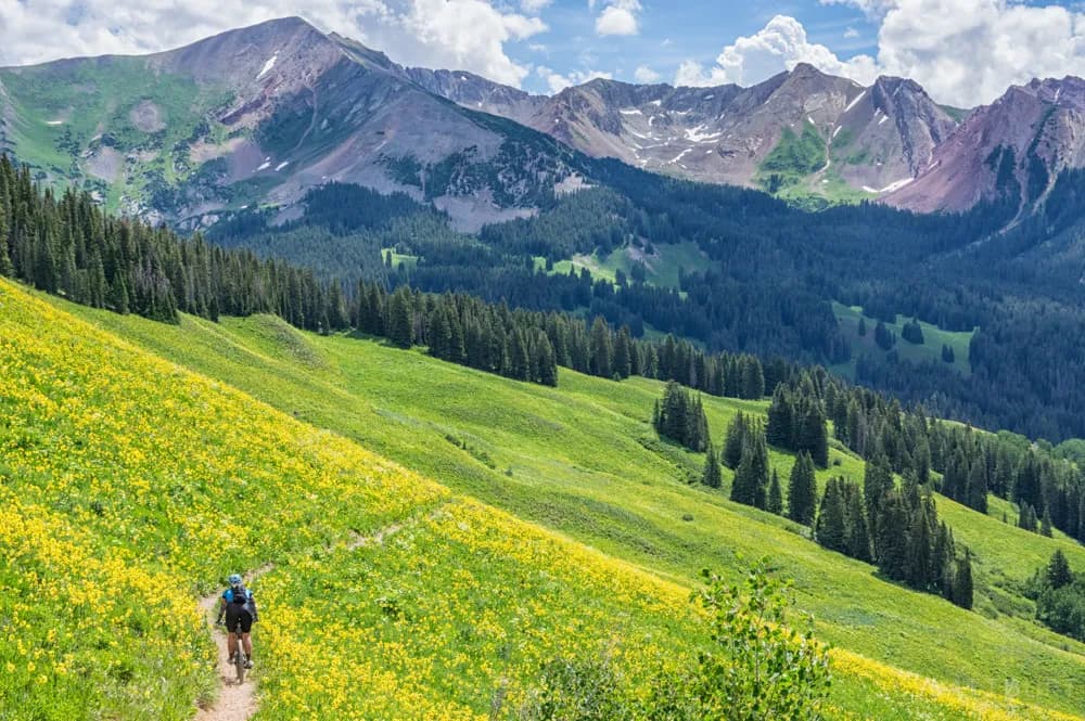
The Lead King Basin Trailhead serves as the access point for a moderate to challenging hike in Carbondale, Western Colorado. Located 21.5 miles south of town on CO 133, the route turns left onto Gunnison County Road 3 (FR 314) and continues on FR 315 to the trailhead at approximately 9,674 feet. The final six miles of FR 315 are rough and narrow, requiring high clearance or four-wheel-drive vehicles. The drive typically takes between 1.5 and 2 hours from Highway 133, with potential delays for passing vehicles on the narrow road. The trail itself features switchbacks and a steady uphill grade, following a stream for most of the ascent. While the first mile is mild, the terrain becomes steeper after the second mile. The hike remains below timberline, offering tree coverage and views of Snowmass Mountain. Fall hiking from September through November is common, with typical durations around 2 hours for the trail section. Parking and restrooms are available at the trailhead, which is situated near a meadow just after crossing a small stream. The area supports pets and offers access to rugged routes on nearby peaks.
Trail profile
Gain
—
Avg grade
—
Steepest
—
High point
9,674 ft
Good to know
Parking at the trailhead
Restrooms available
Dogs allowed on leash
Waypoints
No waypoints mapped for this trail yet.
What people say
Reviews
No reviews yet
Been here? Help the next person out.
Within 30 miles