Fall Hiking · Snowmass, CO
West Maroon Trail Head
Before you go
Live · nearest station Aspen, 17 miGood window today. Daylight to 7:03 pm.
Thunderstorms
Feels like 62°
Trailhead temp
53° est. at 10,412 ft
Storm chance
32% afternoon
Wind
5 mph NNW
UV index
0.3 low
Sun window
6:57 am to 7:03 pm
Distance
—
Elevation gain
—
High point
10,412ft
Season
Sep - Novin season
About
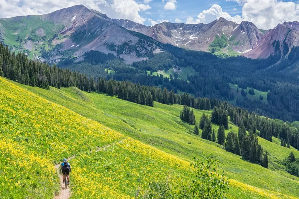
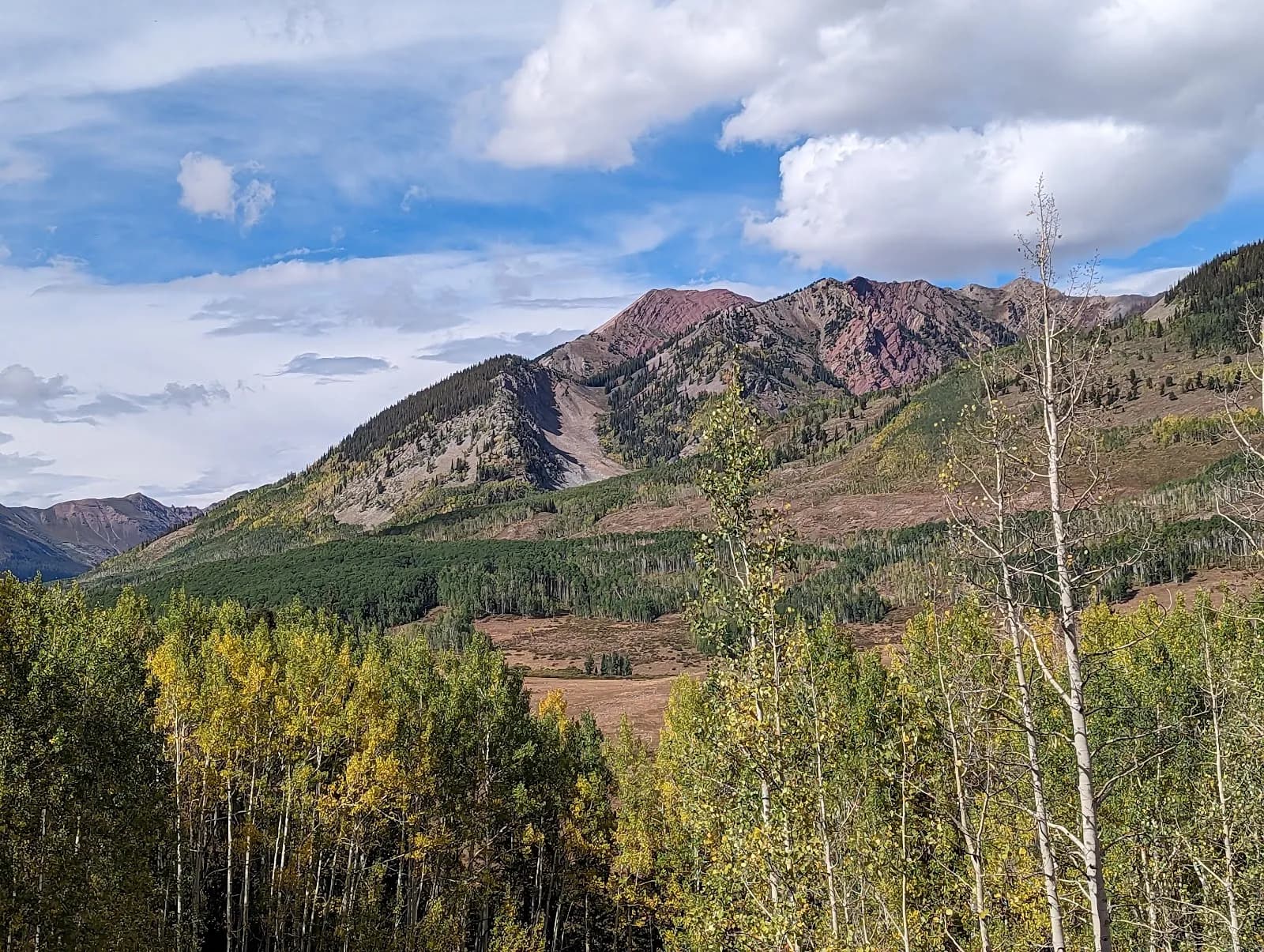
The West Maroon Trailhead, located in the Maroon Bells-Snowmass Wilderness near Snowmass and Aspen, offers a moderate hike starting at Maroon Lake. The trail climbs through aspen groves to Crater Lake, where hikers take a left fork to follow a stream briefly before entering the forest. The route continues through willow and tundra, crossing a wide, potentially dangerous stream during high spring runoff, before climbing steeply via switchbacks to West Maroon Pass. Accessible from late summer through fall, the trailhead is reached by driving west on Highway 82 to the Maroon Creek Road roundabout, then following Maroon Creek Road for approximately 6.5 miles. During peak season (mid-June through September), the road may be closed to private vehicles between 8:30 a.m. and 5:00 p.m., requiring use of the shuttle system from Ruby Park in Aspen. Parking is available at Maroon Lake. Bear canisters are mandatory for backpackers, and advance reservation permits are required for overnight stays in the wilderness zones. The trail is pet-friendly and generally dry in the fall, though snow and ice are possible at higher elevations.
Trail profile
Gain
—
Avg grade
—
Steepest
—
High point
10,412 ft
Good to know
Parking at the trailhead
Restrooms available
Dogs allowed on leash
Waypoints
No waypoints mapped for this trail yet.
What people say
Reviews
No reviews yet
Been here? Help the next person out.
Within 30 miles