Fall Hiking · Grand Junction, CO
Liberty Cap Trailhead
Before you go
Live · nearest station Grand Junction, 6 miGood window today.
Mostly Cloudy
Feels like 60°
Storm chance
2% overnight
Wind
0 mph
Gunnison River near Grand Junction is running 1,180 cfs and falling, water 63°.
Distance
—
Elevation gain
—
High point
4,777ft
Season
Sep - Novin season
About
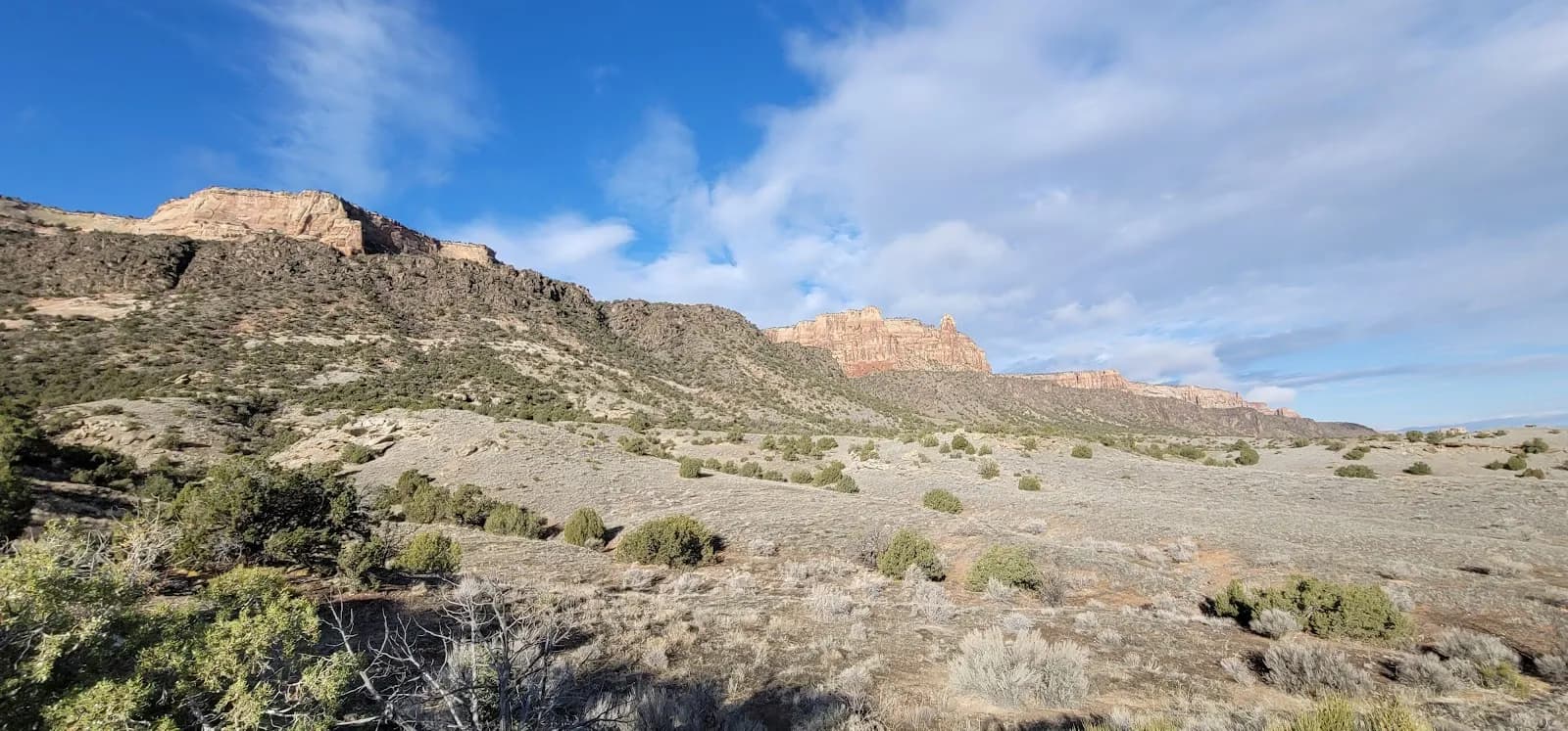
The Liberty Cap Trailhead serves as the starting point for a hike into Colorado National Monument on the Western Slope near Grand Junction. The trail ascends steeply for approximately 2 miles from the Grand Valley floor to the Liberty Cap rock formation, with the final 5 miles across Monument Mesa being more gentle. The route passes through pinyon-juniper forest and sagebrush flats. The total distance is roughly 7 miles one way, with an elevation gain from 4,777 feet to 6,550 feet. The hike is rated moderate to difficult, largely due to the steep initial climb. Most hikers turn around at the rock formation, making the out-and-back journey about 2 hours. Parking is available at the trailhead, and pets are permitted. The trail is accessible from September through November, though conditions vary by season.
Trail profile
Gain
—
Avg grade
—
Steepest
—
High point
4,777 ft
Good to know
Parking at the trailhead
Restrooms available
Dogs allowed on leash
Waypoints
No waypoints mapped for this trail yet.
What people say
Reviews
No reviews yet
Been here? Help the next person out.
Within 30 miles