Hiking · Mesa, CO
Liberty Cap Trail
Before you go
Live · nearest station Grand Junction, 8 miGood window today.
Mostly Cloudy
Feels like 60°
Trailhead temp
54° est. at 6,254 ft
Storm chance
2% tonight
Wind
0 mph
Gunnison River near Grand Junction is running 1,170 cfs and falling, water 64°.
Distance
—
Elevation gain
—
High point
6,254ft
Season
Jan - Dec
About
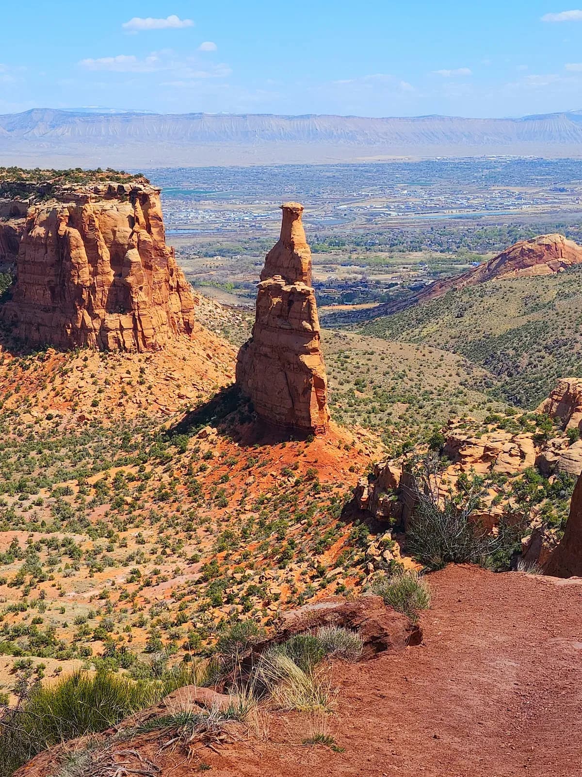
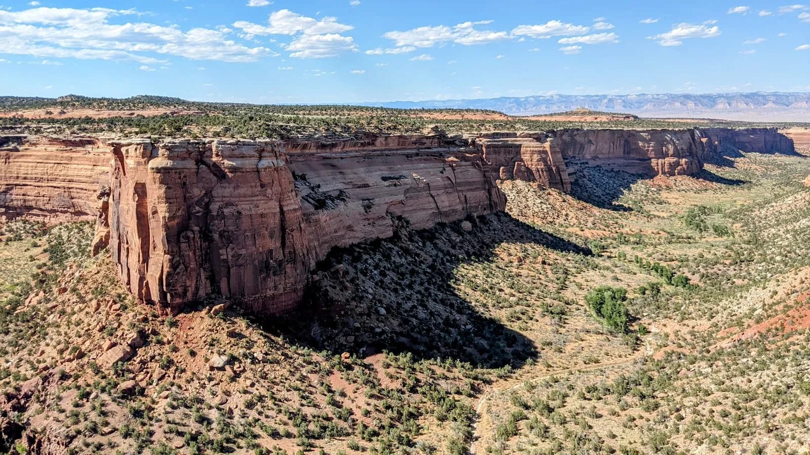
The Liberty Cap Trail in Colorado National Monument offers a moderate hike to a distinctive rock formation, accessible via two trailheads near Grand Junction and Mesa. The route spans approximately 5.75 to 7 miles round trip, depending on the access point and whether hikers connect with adjacent paths. The trail typically takes between two and five hours to complete, reflecting variations in pace and route length. Hikers can choose between the Lower (Wildwood) Trailhead and the Upper Liberty Cap Trailhead. The lower trailhead, located off South Broadway, presents a steep ascent of about 2 miles from the Grand Valley floor. The upper trailhead, accessed via Rim Rock Drive near Saddlehorn Visitor Center, offers a gentler start. From the upper trailhead, the path winds across gently sloping Monument Mesa through pinyon-juniper forest and sagebrush flats for roughly 5 miles before climbing to the Liberty Cap rock formation. This upper section permits horseback riding. The trail provides views of Independence Rock and the broader Colorado National Monument landscape. Parking is available at both trailheads. The elevation ranges from approximately 4,800 feet to 6,550 feet. The trail is generally not crowded and can be hiked year-round, though conditions vary with the seasons. The moderate difficulty suggests manageable elevation gain and terrain suitable for most hikers, with the steep lower section requiring more effort than the flat upper mesa stretch.
Trail profile
Gain
—
Avg grade
—
Steepest
—
High point
6,254 ft
Good to know
Parking at the trailhead
Dogs allowed on leash
Waypoints
No waypoints mapped for this trail yet.
What people say
Reviews
No reviews yet
Been here? Help the next person out.
Within 30 miles