Hiking · Grand Junction, CO
Colorado National Monument
Before you go
Live · nearest station Grand Junction, 8 miGood window today. Daylight to 5:06 pm.
Clear
Feels like 36°
Trailhead temp
35° est. at 5,914 ft
Wind
5 mph ESE
UV index
0 low
Sun window
6:50 am to 5:06 pm
Gunnison River near Grand Junction is running 1,690 cfs and falling, water 48°.
Distance
—
Elevation gain
—
High point
5,914ft
Season
Jan - Dec
About
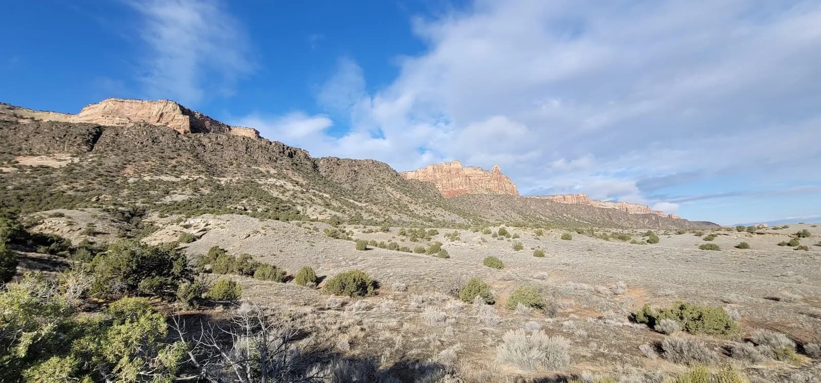
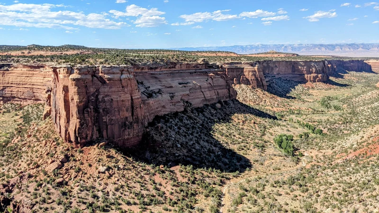
Colorado National Monument, located 5 miles from downtown Grand Junction, is a high-desert hiking destination managed by the National Park Service. The area features over 43 miles of trails ranging from easy walks to challenging 12+ mile treks, set within red-rock canyons and spires. The climate allows for year-round hiking, with winter offering mild temperatures and summer requiring heat management. Key features include juniper and pinyon pine woodlands, overlooks of the Grand Valley, and frequent bighorn sheep sightings. Access is via Rim Rock Drive, which offers numerous pull-offs and trailheads. A vehicle entrance fee applies. While most trails are open year-round, specific rules vary: some short trails prohibit pets and horses, while others allow them. Water sources are generally not reliable on the trails, so hikers should carry their own supply.
Trail profile
Gain
—
Avg grade
—
Steepest
—
High point
5,914 ft
Good to know
Parking at the trailhead
Dogs allowed on leash
Waypoints
No waypoints mapped for this trail yet.
What people say
Reviews
No reviews yet
Been here? Help the next person out.
Within 30 miles