Fall Hiking · Grand Junction, CO
Ute Canyon View Trail
Before you go
Live · nearest station Grand Junction, 8 miGood window today.
Mostly Cloudy
Feels like 65°
Trailhead temp
58° est. at 6,463 ft
Storm chance
2% tonight
Wind
0 mph
Gunnison River near Grand Junction is running 1,180 cfs, water 64°.
Distance
—
Elevation gain
—
High point
6,463ft
Season
Sep - Novin season
About
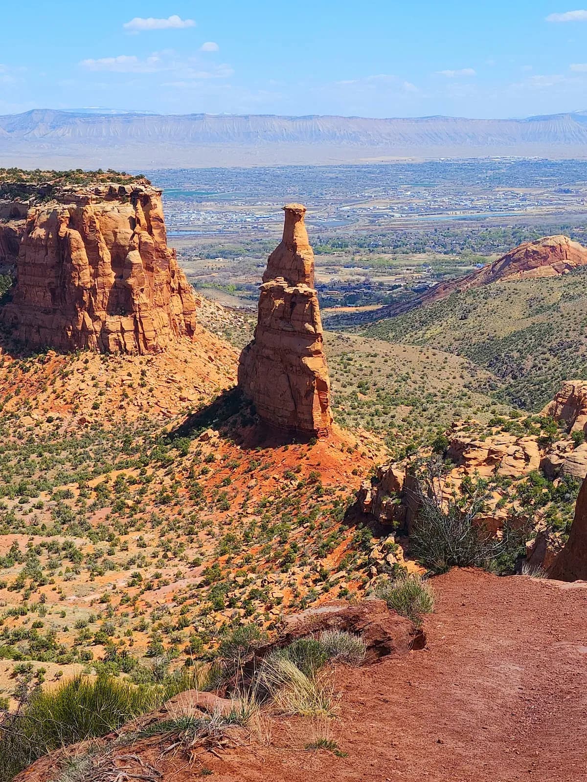
The Ute Canyon View Trail is a moderate hiking route located in Grand Junction, Colorado, on the Western Slope. The trail begins at Rim Rock Drive within Colorado National Monument and trends west to east, descending from the plateau into a narrow canyon. The route follows a primitive path down to a streambed that contains seasonal water and pools, bordered by cottonwoods and willows. Natural arches and canyon walls are visible features of the landscape. The typical duration for this hike is about 2 hours, with an elevation of 6,463 feet. The trail is open year-round but offers optimal conditions for fall hiking from September through November, when foliage changes and weather remains mild. Parking is available at the trailhead, and pets are permitted on the trail. While some sources describe the full 11.3-mile out-and-back Ute Canyon Trail as challenging with an average completion time of 5 hours and 20 minutes, the Ute Canyon View Trail is categorized as moderate. Horseback riding is permitted along the boundary of the monument to the base of the escarpment.
Trail profile
Gain
—
Avg grade
—
Steepest
—
High point
6,463 ft
Good to know
Parking at the trailhead
Restrooms available
Dogs allowed on leash
Waypoints
No waypoints mapped for this trail yet.
What people say
Reviews
No reviews yet
Been here? Help the next person out.
Within 30 miles