Fall Hiking · Grand Junction, CO
Upper Liberty Cap Trailhead
Before you go
Live · nearest station Grand Junction, 10 miGood window today.
Mostly Cloudy
Feels like 62°
Trailhead temp
55° est. at 6,515 ft
Storm chance
2% tonight
Wind
0 mph
Distance
—
Elevation gain
—
High point
6,515ft
Season
Sep - Novin season
About
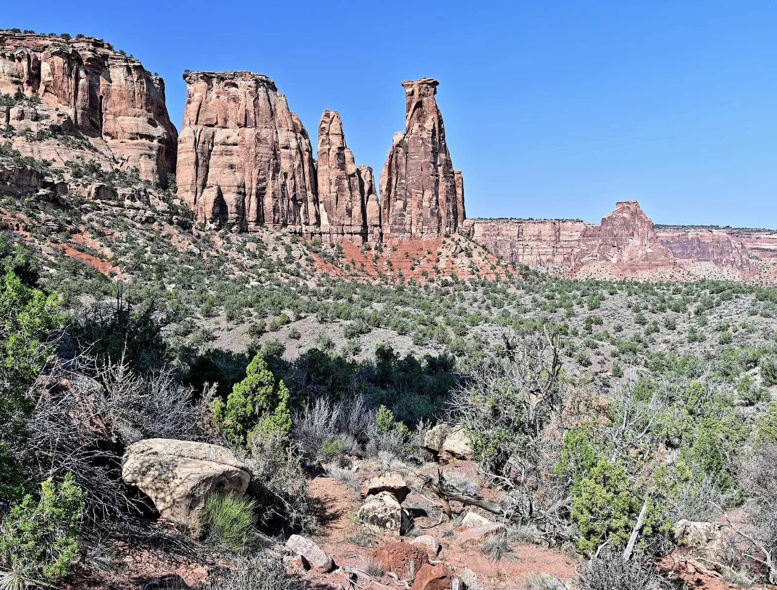
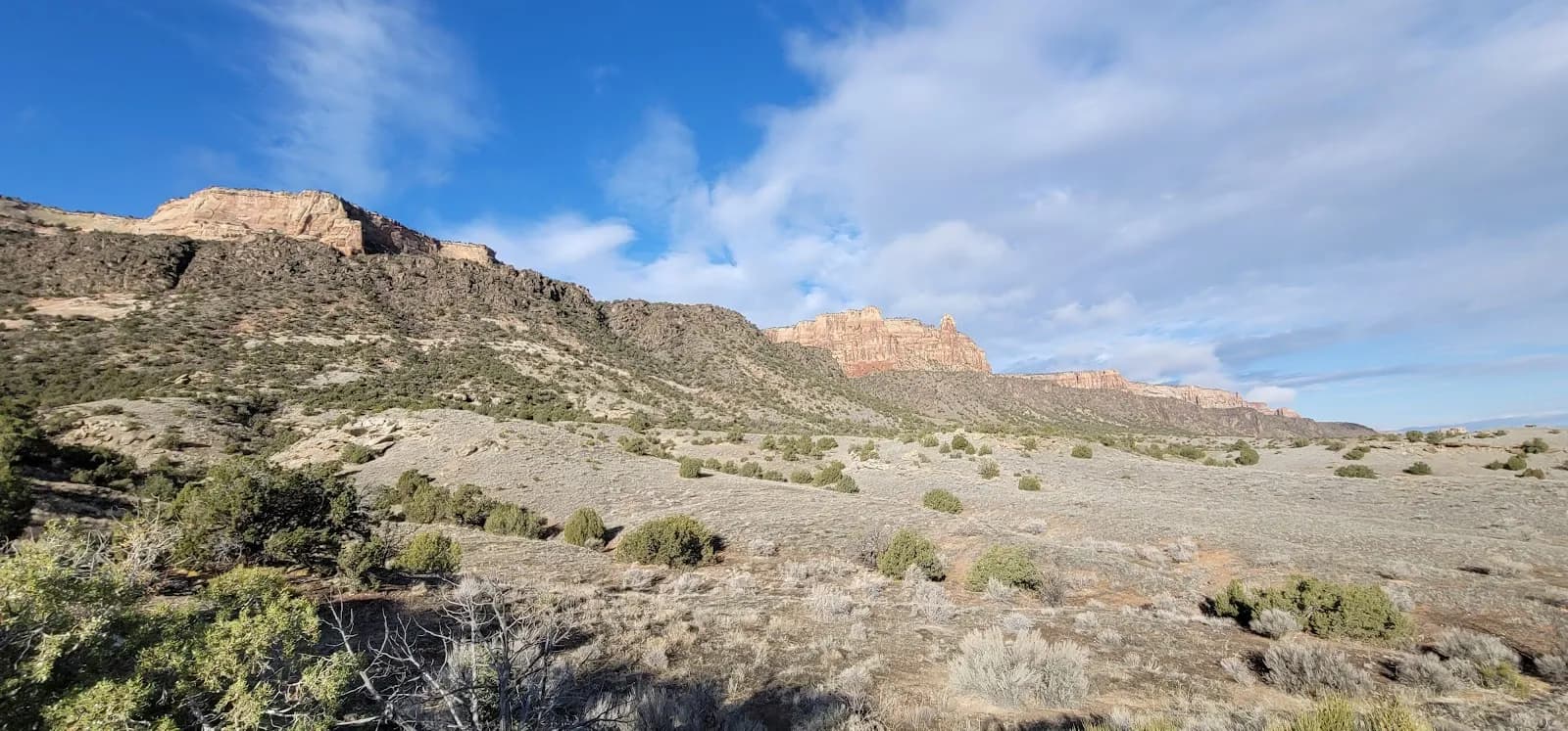
The Upper Liberty Cap Trailhead in Grand Junction offers a moderate fall hike on Monument Mesa. Located within Colorado National Monument, the trail begins off Rimrock Drive and climbs gradually across pinyon-juniper forest and sagebrush flats. The route follows an abandoned jeep road for approximately five miles before meeting the Lower Liberty Cap trail near the white cliff band. Hikers typically spend about two hours on this section, though total time varies based on distance. The terrain is generally smooth with some steeper sections over bentonite, which can become muddy when wet. Parking is available at the upper trailhead, and pets are permitted. The moderate difficulty suits hikers seeking views of Independence Rock and the monument's upper walls without a steep initial ascent. Restrooms are available at the trailhead. September through November provides suitable conditions for this out-and-back option.
Trail profile
Gain
—
Avg grade
—
Steepest
—
High point
6,515 ft
Good to know
Parking at the trailhead
Restrooms available
Dogs allowed on leash
Waypoints
No waypoints mapped for this trail yet.
What people say
Reviews
No reviews yet
Been here? Help the next person out.
Within 30 miles