Mountain Biking · Montrose, CO
Little Lower Spring Creek Loop
Before you go
Live · nearest station Montrose, 0 miGood window today.
Mostly Cloudy
Feels like 61°
Storm chance
12% afternoon
Wind
5 mph NNW
Distance
11.1mi round trip
Elevation gain
884ft
High point
6,520ft
Season
Apr - Octin season
About
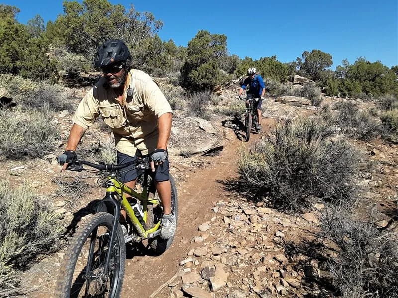
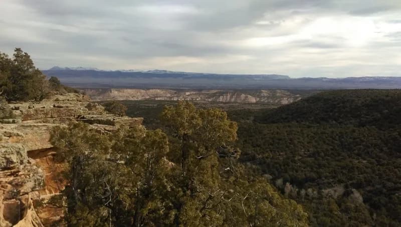
The Little Lower Spring Creek Loop is a 11.1 mile mountain biking route located in Montrose, Colorado, on the Western Slope. The trail sits at an elevation of 5,814 feet and is classified as difficult. It typically takes about four hours to complete. The route begins at a parking area off Dave Wood Road, near the entrance to the Uncompahgre National Forest. Riders descend a steep section characterized by large loose stones and tight switchbacks before crossing a bridge installed in 2019. The trail features two creek crossings and includes technical singletrack with rocky sections and blind turns. A notable feature is a hike-a-bike segment at the north end near the lower trailhead, caused by steep and loose terrain. The loop connects to Old Spring Canyon Road, which contains chunky rock gardens, before ascending via the Lower Spring Creek South Connector. This connector leads to the high point of the ride, which is approximately 7,268 feet. The trail dries out earlier than higher plateau rides, making it accessible from April through October. Parking is available at the cattle guard on Dave Wood Road. The route is pet friendly and passes through a canopy of Pinyon and Juniper trees.
Trail profile
Gain
884 ft
Avg grade
2%
Steepest
8%
High point
6,520 ft
Good to know
Parking at the trailhead
Dogs allowed on leash
Waypoints
Latest trail reportgood
Trail is in good condition. Traction is good with minimal obstacles.
Reported Mar 2, 2025Verified
What people say
Reviews
No reviews yet
Been here? Help the next person out.
Within 30 miles