Fall Hiking · Dolores, CO
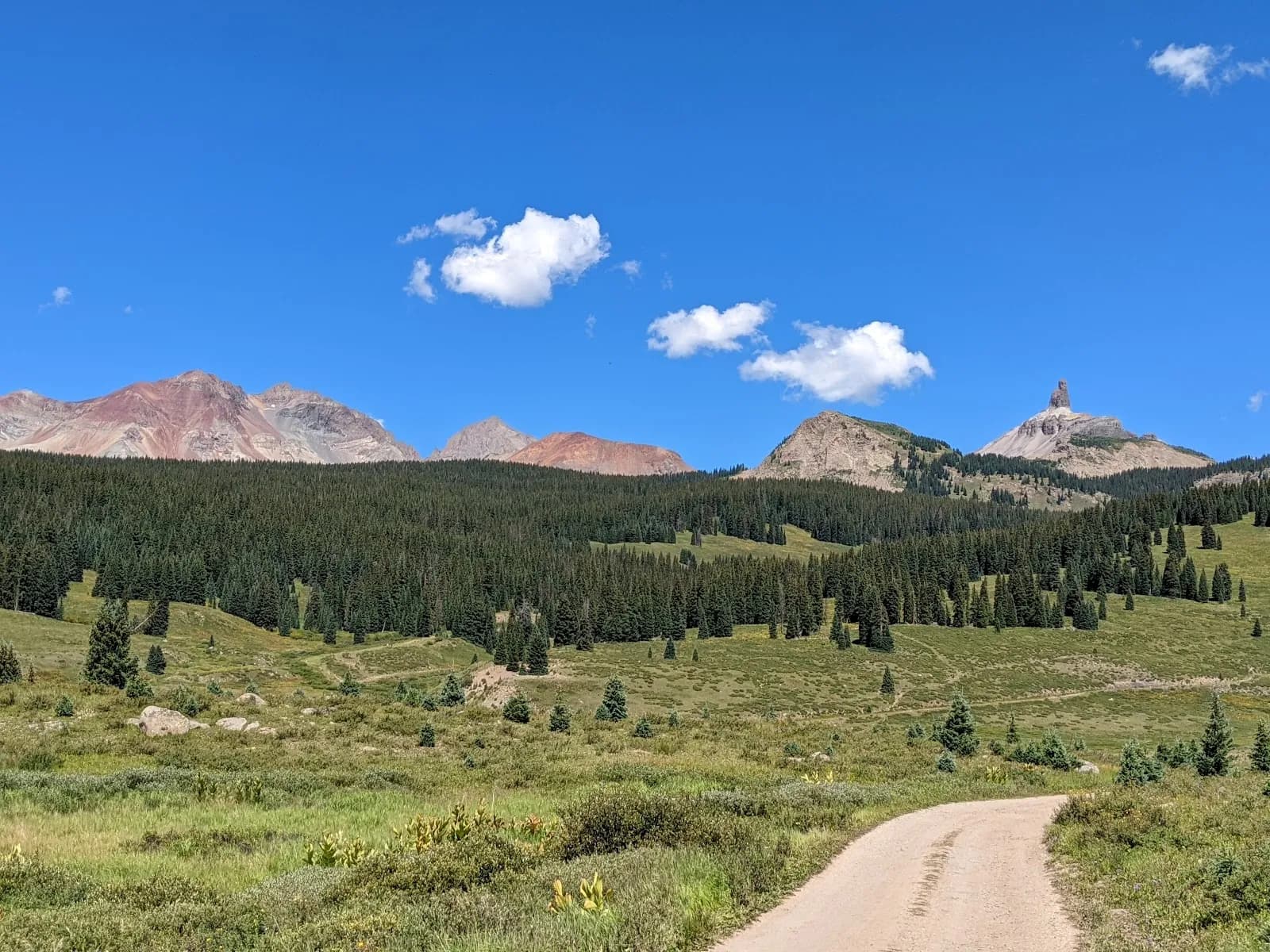
Lizard Head Wilderness
Before you go
Live · nearest station Telluride, 14 miStorms are likely above treeline tonight. Start early and be off the ridge by midday.
Chance of Rain
Feels like 45°
Trailhead temp
38° est. at 11,403 ft
Storm chance
50% tonight
Wind
5 mph ESE
San Miguel River near Placerville is running 146 cfs and falling.
Distance
—
Elevation gain
—
High point
11,403ft
Season
Sep - Novin season
About
The Lizard Head Wilderness is a 41,496-acre area in the San Juan Mountains, located between Telluride and Cortez, spanning Uncompahgre and San Juan National Forests. It is defined by the 13,113-foot Lizard Head Peak, a volcanic spire of crumbling rock, and includes the headwaters of the West Fork of the Dolores River. The area features three prominent fourteeners: El Diente Peak (14,159 ft), Wilson Peak (14,017 ft), and Mount Wilson (14,246 ft). The landscape transitions from red rock canyon lands to high alpine terrain, with trails passing through mature aspen groves, wildflower meadows, and dense coniferous forests. Fall hiking is notable for golden aspen foliage and clear views of surrounding peaks. The wilderness contains approximately 37 miles of trails, mostly above 9,000 feet, with human use rated as moderate to light. Access is available from multiple trailheads, including Navajo Lake, Woods Lake, and the Lizard Head Trail #505, which ascends along Bilk Creek past waterfalls and the Morning Star Mine ruins. Dogs are allowed on leash. The area is open year-round, though conditions vary significantly with elevation. Drinking water is available but requires boiling or filtering. Camping is permitted outside designated zones with specific regulations, such as staying 100 feet from water sources.
Trail profile
Gain
—
Avg grade
—
Steepest
—
High point
11,403 ft
Good to know
Parking at the trailhead
Restrooms available
Dogs allowed on leash
Waypoints
No waypoints mapped for this trail yet.
What people say
Reviews
No reviews yet
Been here? Help the next person out.
Within 30 miles