Fall Hiking · Telluride, CO
Lower Blue Lake
Before you go
Live · nearest station Telluride, 4 miStorms are likely above treeline tonight. Start early and be off the ridge by midday.
Chance of Rain
Feels like 44°
Trailhead temp
38° est. at 11,003 ft
Storm chance
50% tonight
Wind
5 mph ESE
Distance
—
Elevation gain
—
High point
11,003ft
Season
Sep - Novin season
About
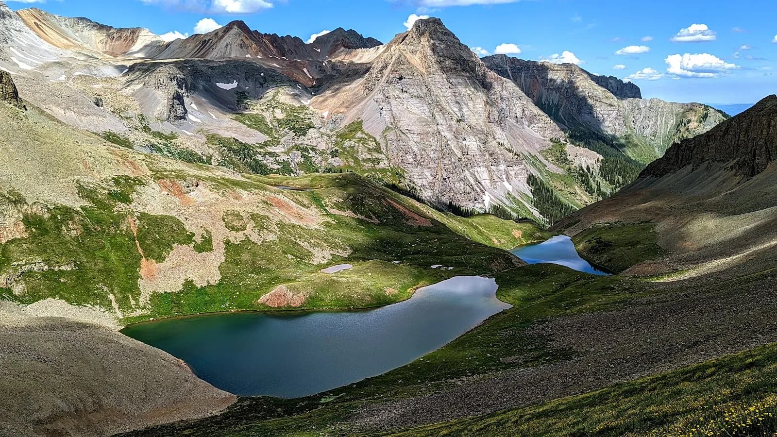
Lower Blue Lake is a moderate, 2-hour hike located in the San Juan Mountains near Telluride and Ridgway. The trailhead sits on Forest Service Road 851.1, accessed via Highway 62. The final two miles to the parking area are unpaved and can be rough, making a vehicle with higher clearance advisable. The hike follows an out-and-back route through aspen groves and coniferous forests to the lake, which sits at an elevation of 11,003 feet. The trail is characterized by a steady climb and offers views of surrounding peaks, including Mount Sneffels. The lake’s distinct turquoise color results from glacial flour suspended in the water. Parking is available at the trailhead, and restrooms are present. Pets are permitted on the trail. The optimal season for hiking is September through November, when aspens provide fall color. While the full Blue Lakes Trail extends to Middle and Upper Lakes with a total roundtrip distance of up to 10.8 miles, stopping at Lower Blue Lake provides a complete experience in approximately two hours.
Trail profile
Gain
—
Avg grade
—
Steepest
—
High point
11,003 ft
Good to know
Parking at the trailhead
Restrooms available
Dogs allowed on leash
Waypoints
No waypoints mapped for this trail yet.
What people say
Reviews
No reviews yet
Been here? Help the next person out.
Within 30 miles