Fall Hiking · Telluride, CO
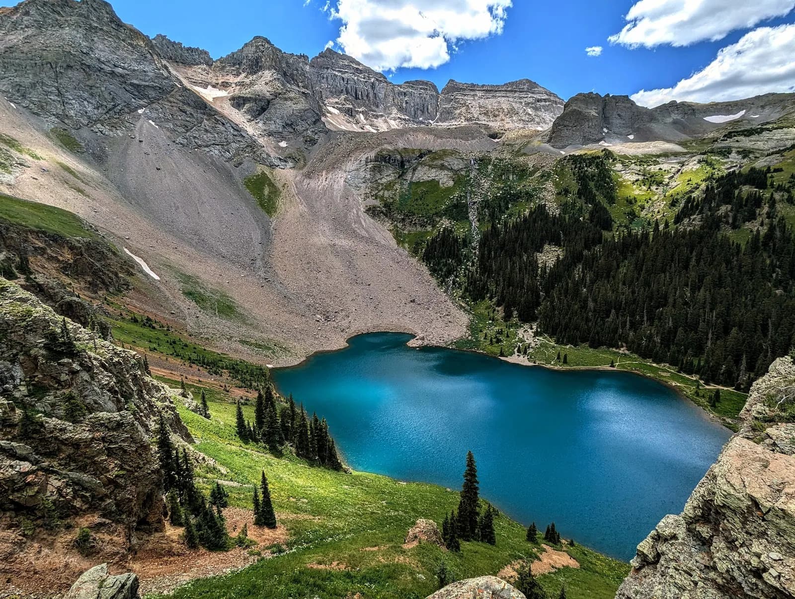
Upper Blue Lake
Before you go
Live · nearest station Telluride, 4 miStorms are likely above treeline tonight. Start early and be off the ridge by midday.
Chance of Rain
Feels like 45°
Trailhead temp
37° est. at 11,724 ft
Storm chance
50% tonight
Wind
5 mph ESE
Distance
—
Elevation gain
—
High point
11,724ft
Season
Sep - Novin season
About
The Blue Lakes Trail in the San Juan Mountains, located between Telluride and Ridgway, offers access to a series of emerald and turquoise alpine lakes formed by glacial action. The trail is an out-and-back route where hikers can choose to stop at Lower, Middle, or Upper Blue Lake. The route to Upper Blue Lake is approximately 2 miles one-way with 344 feet of elevation gain, taking about 1 to 1.5 hours. Continuing to the full set of lakes extends the distance to roughly 8.6 miles roundtrip with 2,522 feet of elevation gain, requiring 4 to 6 hours. The trail is generally rated as moderate, though some sources describe it as difficult or strenuous due to the extended distance. The trailhead is accessed via Forest Service Road #851.1 from Ridgway. The road is unpaved, and the final segment can be rough with potholes, making four-wheel drive with high clearance advisable. Parking is available but can be sparse, particularly on holiday weekends. The area is part of the Mount Sneffels Wilderness. While the database lists pet-friendly access, web sources indicate that bear-resistant food storage is required and camping is permitted around Lower Blue Lake but not at the middle or upper lakes. Permits are currently not required but may begin in 2027.
Trail profile
Gain
—
Avg grade
—
Steepest
—
High point
11,724 ft
Good to know
Parking at the trailhead
Restrooms available
Dogs allowed on leash
Waypoints
No waypoints mapped for this trail yet.
What people say
Reviews
No reviews yet
Been here? Help the next person out.
Within 30 miles