Mountain Biking · Rifle, CO
Lower Faceplant
Before you go
Live · nearest station Glenwood Springs, 24 miGood window today.
Mostly Cloudy
Feels like 52°
Storm chance
6% overnight
Wind
5 mph ESE
Distance
0.6mi round trip
Elevation gain
160ft
High point
5,978ft
Season
Apr - Octpeak now
About
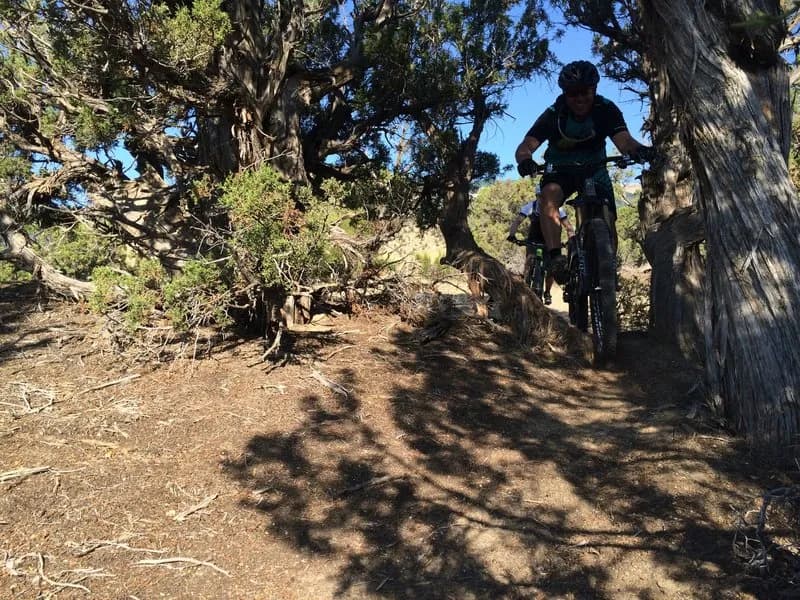
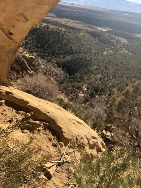
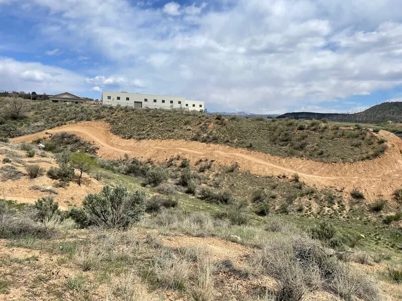
Lower Faceplant is a 0.6-mile mountain biking trail located in Rifle, Colorado, near the Roan Cliffs. The route sits at an elevation of 5,978 feet and is classified as difficult or black diamond. Riders can access the trail from a BLM parking lot, with options to enter at the top of Balanced Rock Trail or near Whiskey Tango Express. The trail is part of the moto Loop 3 network and sees shared use with motorcycles, requiring riders to navigate whoop sections. The route traverses the rim of Hubbard Mesa and connects to other trails, including Faceplant and Roan Cliff Chaos. The terrain features rocky surfaces, cupped singletrack, and three technical features that have become more challenging due to erosion and motor vehicle traffic. The trail is accessible from April through October, with an average completion time of approximately 11 minutes. Parking is available at the trailhead, and pets are permitted on the route.
Trail profile
Gain
160 ft
Avg grade
5%
Steepest
7%
High point
5,978 ft
Good to know
Parking at the trailhead
Dogs allowed on leash
Waypoints
Latest trail reportgood
Trail is in good condition. Traction is good with minimal obstacles.
Reported Mar 2, 2025Verified
What people say
Reviews
No reviews yet
Been here? Help the next person out.
Within 30 miles