Fall Hiking · Montrose, CO
Lower Spring Creek Canyon Trail
Before you go
Live · nearest station Montrose, 7 miGood window today.
Cloudy
Feels like 59°
Trailhead temp
56° est. at 6,805 ft
Storm chance
12% tonight
Wind
5 mph SSE
Distance
—
Elevation gain
—
High point
6,805ft
Season
Sep - Novin season
About
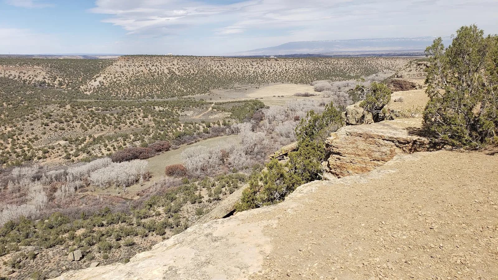
The Lower Spring Creek Canyon Trail is a moderate, 8-mile route located west of Montrose, Colorado. The trail descends approximately 1,500 feet from the Uncompahgre National Forest boundary into high desert terrain. Hikers typically spend about two hours on the route, which runs from September through November. Access is available via a dirt road off South Dave Wood Road. The trail begins with a doubletrack ascent to the canyon rim, followed by a 1.5-mile parallel section before turning into the canyon. The lower canyon floor features singletrack with rocky, technical surfaces and loose soil. Pinyon and Juniper trees form a canopy along the descent. The trail includes banked turns, short steep climbs, and a narrow cattle guard crossing. Cactus is present along the path. The north end contains a steep, loose section requiring careful footing and a hike-a-bike segment near the lower trailhead. Parking is available at the trailhead, and pets are permitted.
Trail profile
Gain
—
Avg grade
—
Steepest
—
High point
6,805 ft
Good to know
Parking at the trailhead
Restrooms available
Dogs allowed on leash
Waypoints
No waypoints mapped for this trail yet.
What people say
Reviews
No reviews yet
Been here? Help the next person out.
Within 30 miles