Hiking · Montrose, CO
Lower Spring Creek Loop
Before you go
Live · nearest station Montrose, 0 miGood window today.
Mostly Cloudy
Feels like 61°
Storm chance
12% afternoon
Wind
5 mph NNW
Distance
5.9mi round trip
Elevation gain
144ft
High point
5,948ft
Season
Jan - Dec
About
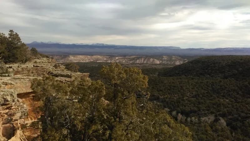
The Lower Spring Creek Loop is a 5.9-mile hiking trail located in Montrose, Colorado, on the Western Slope. The trailhead sits at an elevation of 5,814 feet and offers parking for visitors. Classified as easy, the hike typically takes about three hours to complete. The route descends approximately 1,500 feet from the Uncompahgre National Forest boundary into high desert terrain. The path winds through a thick canopy of Pinyon and Juniper trees before opening into brushy areas. Much of the trail surface is rocky and technical, featuring doubletrack sections and singletrack segments. The trail runs north-south through Spring Creek Canyon, starting near Dave Wood Road and extending westward. It is accessible year-round. The upper section of the trail runs parallel to Spring Creek for roughly 1.5 miles, where hikers may encounter mud or puddles depending on conditions. A designated hike-a-bike section exists near the lower trailhead off Dave Wood Road.
Trail profile
Gain
144 ft
Avg grade
0%
Steepest
1%
High point
5,948 ft
Good to know
Parking at the trailhead
Waypoints
Latest trail reportgood
Trail is in good condition. No significant obstacles or hazards reported.
Reported Mar 2, 2025Verified
What people say
Reviews
No reviews yet
Been here? Help the next person out.
Within 30 miles