Hiking · Montrose, CO
Lower Spring Creek North Connector
Before you go
Live · nearest station Montrose, 0 miGood window today. Daylight to 6:27 pm.
Chance of Rain
Feels like 57°
Storm chance
22% tonight
Wind
0 mph
UV index
0 low
Sun window
7:24 am to 6:27 pm
Distance
1.86mi round trip
Elevation gain
8ft
High point
5,809ft
Season
Jan - Dec
About
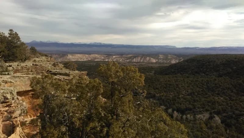
The Lower Spring Creek North Connector is a 1.86-mile moderate trail located in Spring Canyon, just north of Montrose, Colorado. The route crosses the north end of the canyon, rolling through pinyon and juniper woodlands. It features several short technical steps and water crossings, including one perennial source and a couple of seasonal crossings. The trail was constructed in the fall of 2016 and is open to both hiking and mountain biking. Access is available via a trailhead with parking, situated near the lower end of the canyon system. Water levels in Spring Creek vary by season; during spring runoff from April to mid-May, the creek can run high, potentially requiring hikers to turn back if conditions are dangerous. At other times of the year, the crossing is generally manageable. The trail is suitable for year-round use, though mud and puddles may be present on the upper sections depending on recent weather.
Trail profile
Gain
8 ft
Avg grade
0%
Steepest
0%
High point
5,809 ft
Good to know
Parking at the trailhead
Waypoints
Latest trail reportgood
Trail is in good condition. No significant obstacles or hazards reported.
Reported Mar 2, 2025Verified
What people say
Reviews
No reviews yet
Been here? Help the next person out.
Within 30 miles