Hiking · Montrose, CO
Lower Spring Creek South Connector
Before you go
Live · nearest station Montrose, 0 miGood window today.
Chance of Rain
Feels like 62°
Storm chance
30% afternoon
Wind
5 mph NNW
Distance
1.1mi round trip
Elevation gain
10ft
High point
5,817ft
Season
Jan - Dec
About
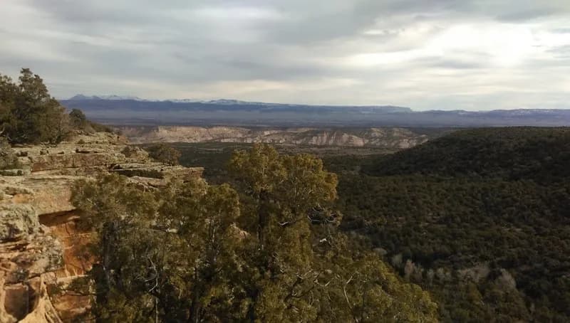
The Lower Spring Creek South Connector is a 1.1-mile moderate hiking trail located near Montrose, Colorado. It serves as a connector between BLM land and the Uncompahgre National Forest, following the rim above Spring Creek. The route winds through pinyon and juniper trees, featuring a few technical sections where footing requires attention. A notable feature is the creek crossing, which may include a log during spring runoff or be casual at other times. The trail descends toward the National Forest boundary. Parking is available at the trailhead. Conditions can vary by season, with mud possible in the lower canyon areas. The trail is open for hiking year-round.
Trail profile
Gain
10 ft
Avg grade
0%
Steepest
0%
High point
5,817 ft
Good to know
Parking at the trailhead
Waypoints
Latest trail reportgood
Trail is in good condition. No significant obstacles or hazards reported.
Reported Mar 2, 2025Verified
What people say
Reviews
No reviews yet
Been here? Help the next person out.
Within 30 miles