Mountain Biking · Montrose, CO
Lower Spring Creek Trail
Before you go
Live · nearest station Montrose, 0 miGood window today.
Chance of Rain
Feels like 60°
Storm chance
30% afternoon
Wind
5 mph SW
Distance
—
Elevation gain
—
High point
5,809ft
Season
Apr - Octin season
About
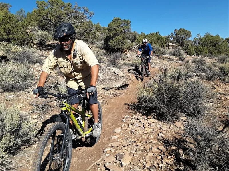
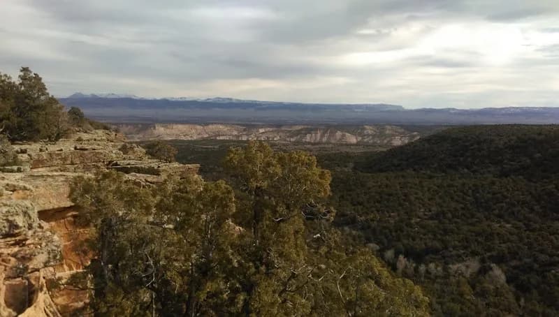
The Lower Spring Creek Trail is a difficult mountain biking route located west of Montrose, Colorado. It offers approximately 7 miles of singletrack descent through the Uncompahgre National Forest and BLM land. The trail begins near a cattle guard on Dave Wood Road, just inside the forest boundary. Riders typically start at the lower northern trailhead and climb up Dave Wood Road to reach the southern entry point. This approach moves the climbing effort to a paved or hard-packed road, leaving roughly 7 miles of technical singletrack for the descent. The route drops about 1,500 feet in elevation as it moves from pine-covered plateau terrain into high desert scrub. The trail surface is rocky and technical, featuring loose doubletrack sections, jumpable berms, and a few short steep climbs. A notable feature is the hike-a-bike section at the north end near the lower trailhead, where a steep, loose slope often requires riders to push their bikes. The upper section runs parallel to Spring Creek Canyon for about 1.5 miles before descending steeply into the canyon floor. Riders should monitor conditions in the upper canyon, as mud and puddles there can make the lower section difficult to navigate. The trail is pet friendly and has a small parking area available at the cattle guard on Dave Wood Road. It is generally open from April through October, drying out earlier than higher plateau rides.
Trail profile
Gain
—
Avg grade
—
Steepest
—
High point
5,809 ft
Good to know
Parking at the trailhead
Dogs allowed on leash
Waypoints
Latest trail reportgood
Trail is in good condition. Traction is good with minimal obstacles.
Reported Mar 2, 2025Verified
What people say
Reviews
No reviews yet
Been here? Help the next person out.
Within 30 miles