Fall Hiking · Grand Junction, CO
Lunch Loop Trailhead
Before you go
Live · nearest station Grand Junction, 3 miGood window today.
Mostly Cloudy
Feels like 62°
Storm chance
2% tonight
Wind
0 mph
Gunnison River near Grand Junction is running 1,170 cfs and falling, water 64°.
Distance
—
Elevation gain
—
High point
4,709ft
Season
Sep - Novin season
About
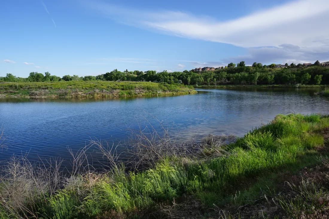
The Lunch Loop Trailhead in Grand Junction, Colorado, provides a moderate to moderately challenging hiking experience within a stacked singletrack system. Located approximately two miles from downtown, the trail sits adjacent to the Colorado National Monument and Bangs Canyon. The route covers 6.5 miles as a loop, with an elevation of 4,709 feet. Hikers typically complete the trail in about two to three hours. The terrain is described as rocky, uneven, and technical, offering spectacular views of the Grand Valley. While the system includes trails rated more difficult to very difficult, it accommodates a range of skill levels. The trail is open for hiking from September through November, with some sources noting accessibility from January to November. Parking is available at the trailhead, and pets are permitted on leash. The area sees high use from mountain bikers and trail runners, though hikers may find it less crowded than other local options.
Trail profile
Gain
—
Avg grade
—
Steepest
—
High point
4,709 ft
Good to know
Parking at the trailhead
Restrooms available
Dogs allowed on leash
Waypoints
No waypoints mapped for this trail yet.
What people say
Reviews
No reviews yet
Been here? Help the next person out.
Within 30 miles