Rock Climbing · Silverton, CO
Maggie Falls Right
Before you go
Live · nearest station Telluride, 10 miStorms build later today. Plan an early finish.
Chance of Rain
Feels like 45°
Trailhead temp
44° est. at 9,505 ft
Storm chance
50% tonight
Wind
5 mph ESE
Distance
—
Elevation gain
13ft
High point
9,593ft
Season
Jan - Dec
About
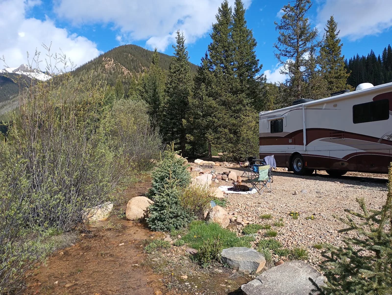
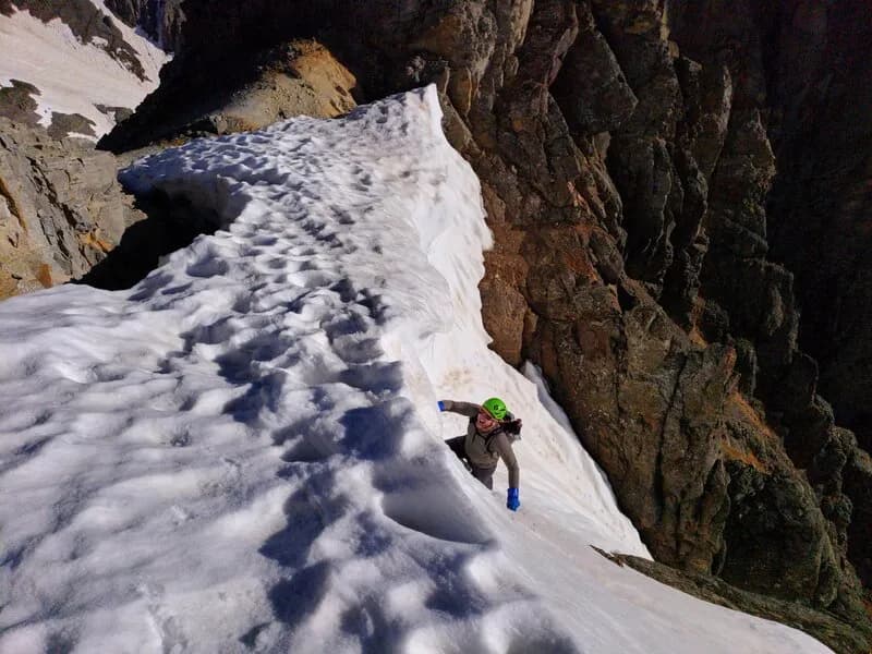
Maggie Falls Right is a rock climbing area in Maggie Gulch, near Silverton, Colorado. The location sits at an elevation of approximately 9,500 to 9,769 feet. Routes here are classified as moderate difficulty. Access is via County Road 2 (CR 2) east of Silverton. Drivers turn onto the signed Maggie Gulch road (CR 23) after 6 miles from town. The road is typically open to passenger vehicles but becomes snowed in by mid-November, with ice forming earlier. Parking is available on-site. The area is pet friendly. Climbers should expect varied terrain with potential for snow and ice in winter months. The climbing season generally runs from January to December, though conditions vary.
Trail profile
Gain
13 ft
Avg grade
—
Steepest
—
High point
9,593 ft
Good to know
Parking at the trailhead
Dogs allowed on leash
Waypoints
Latest trail reportgood
Spring climbing conditions. Route may be wet after rainfall. Check weather forecast before climbing.
Reported Mar 4, 2025Verified
What people say
Reviews
No reviews yet
Been here? Help the next person out.
Within 30 miles