Fall Hiking · Montrose, CO
Mailbox Trailhead
Before you go
Live · nearest station Montrose, 5 miGood window today.
Cloudy
Feels like 59°
Storm chance
12% tonight
Wind
5 mph SSE
Distance
—
Elevation gain
—
High point
6,171ft
Season
Sep - Novin season
About
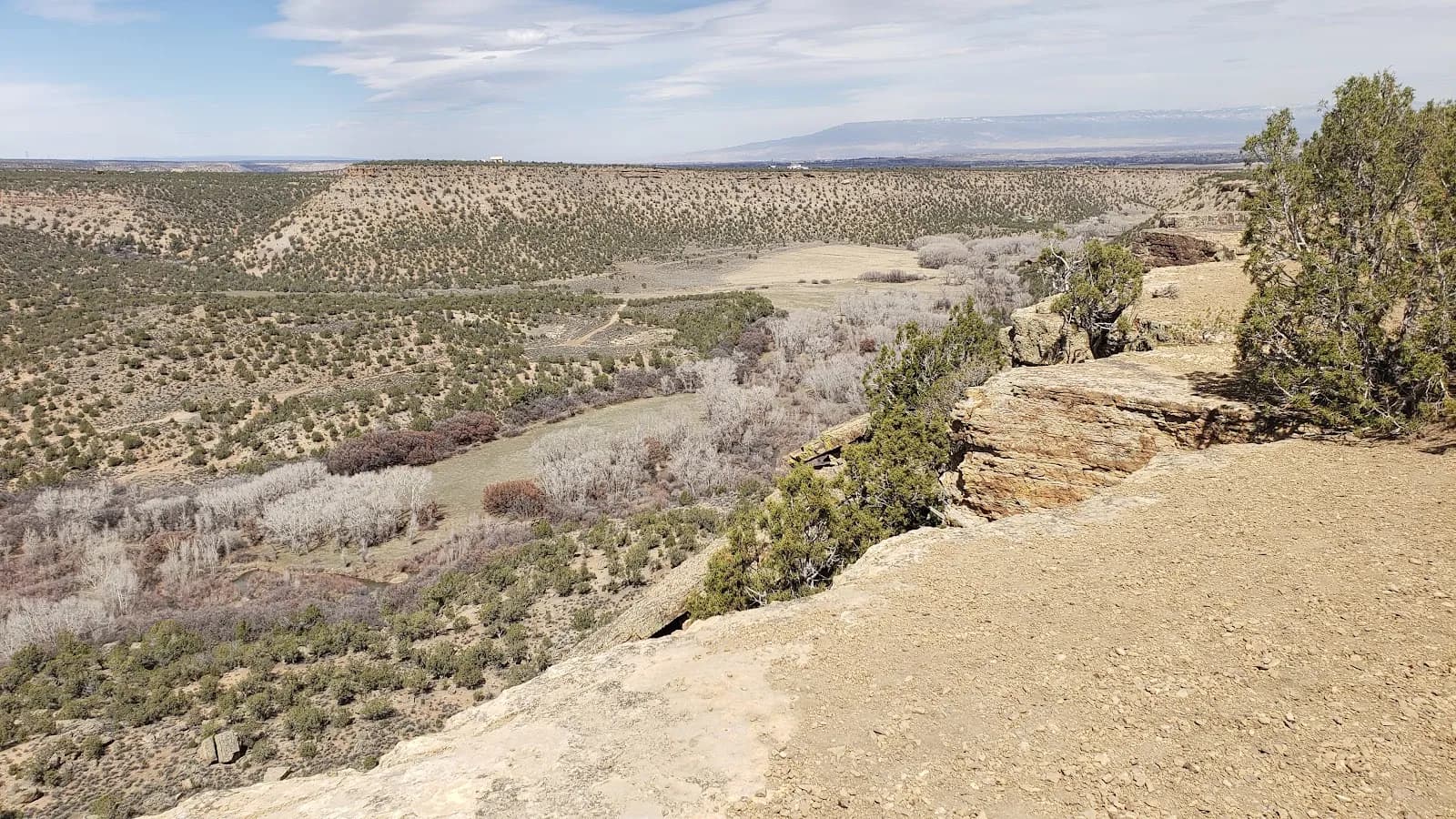
The Mailbox Trailhead in Montrose, Colorado, provides a moderate hiking route within the Buzzard Gulch Trails of the Dry Creek Recreation Area. Located off Dave Wood Road, the trail begins near a cluster of mailboxes and climbs approximately 100 feet over its first half-mile. The path transitions from a steep, rocky ascent to a flatter section crossing sagebrush flats and juniper stands before descending into Buzzard Gulch. The trail connects the Dave Wood Road to the main Buzzard Gulch trail network and serves as a segment of the Vulture Rim Loop. Hikers typically complete the route in about two hours, with an elevation ranging from 6,171 to 6,306 feet. The trailhead offers parking and restrooms, and the route permits dogs, bikes, horses, and motorcycles. Fall hiking is viable from September through November, with generally dry conditions and variable weather typical of the Western Slope.
Trail profile
Gain
—
Avg grade
—
Steepest
—
High point
6,171 ft
Good to know
Parking at the trailhead
Restrooms available
Dogs allowed on leash
Waypoints
No waypoints mapped for this trail yet.
What people say
Reviews
No reviews yet
Been here? Help the next person out.
Within 30 miles