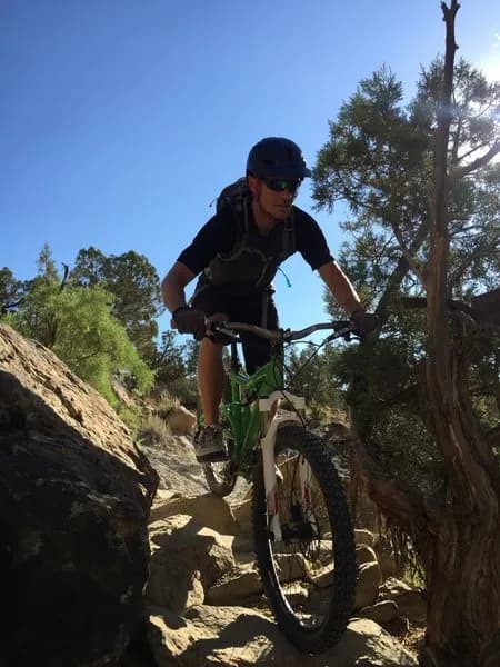
Mountain Biking · Rifle, CO
Manzier
Before you go
Live · nearest station Glenwood Springs, 24 miGood window today. Daylight to 6:25 pm.
Thunderstorms
Feels like 60°
Storm chance
22% tonight
Wind
5 mph W
UV index
0 low
Sun window
7:25 am to 6:25 pm
Distance
—
Elevation gain
—
High point
5,348ft
Season
Apr - Octin season
About
Manzier is a short, 0.2-mile connector trail located near Rifle, Colorado, on the Western Slope. The trail sits at an elevation of approximately 5,347 to 5,705 feet and is rated moderate difficulty. It serves as a connector or alternate route within the local mountain biking network. Access is available from April through October, though conditions depend on snowmelt and weather. Parking is available on-site, and the trail is pet-friendly. Evidence for specific terrain features is limited to general descriptions of singletrack and doubletrack sections common to the area, but the trail itself is primarily defined by its role as a short link rather than a destination loop.
Trail profile
Gain
—
Avg grade
—
Steepest
—
High point
5,348 ft
Good to know
Parking at the trailhead
Dogs allowed on leash
Waypoints
Latest trail reportfair
Spring conditions. Trail may be muddy after recent rain. Check trail status before riding.
Reported Mar 2, 2025Verified
What people say
Reviews
No reviews yet
Been here? Help the next person out.
Within 30 miles