Fall Hiking · Snowmass, CO
Maroon Bells-Snowmass Wilderness - White River
Before you go
Live · nearest station Aspen, 12 miGood window today. Daylight to 7:03 pm.
Thunderstorms
Feels like 62°
Trailhead temp
52° est. at 10,863 ft
Storm chance
32% afternoon
Wind
5 mph NNW
UV index
0.3 low
Sun window
6:56 am to 7:03 pm
Distance
—
Elevation gain
—
High point
10,863ft
Season
Sep - Novin season
About
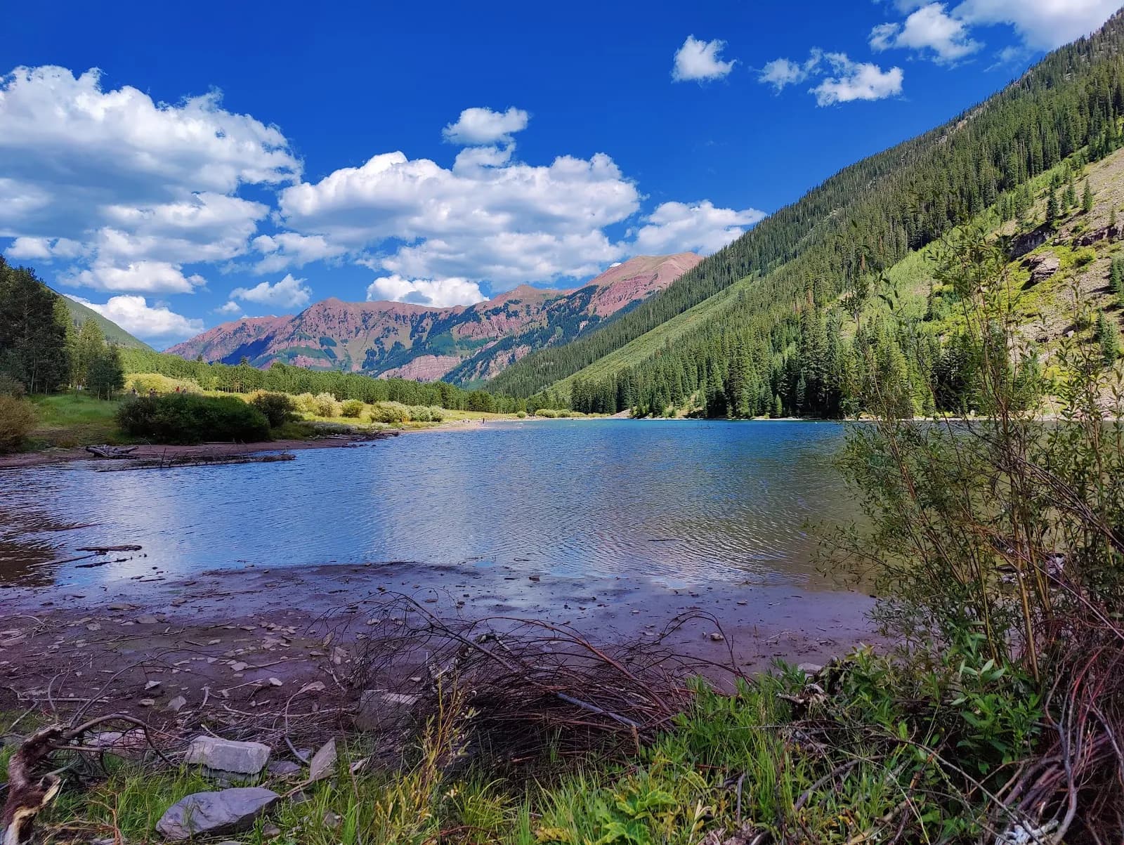
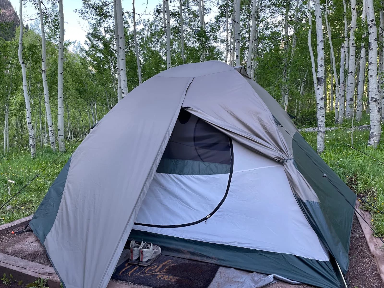
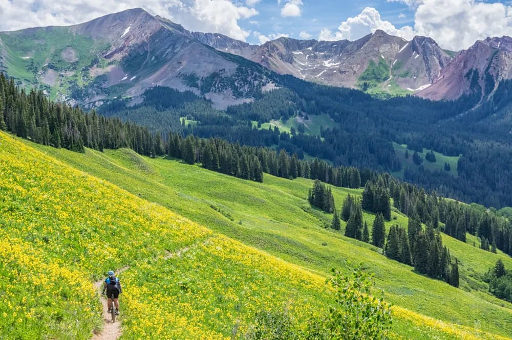
The Maroon Bells-Snowmass Wilderness covers 181,535 acres in the Elk Mountains, straddling the White River and Gunnison National Forests. It serves as the surrounding wilderness area to the highly visited Maroon Bells Scenic Area. The region is named for Maroon Bells and Snowmass Peak. Fall hiking typically runs from September through November, though early October to late June often brings snow cover to trails, passes, and campsites. Access is managed through multiple trailheads, including the Geneva Lake Trailhead, which provides access to the West Snowmass Trail. The area is designated as a wilderness under the 1964 Wilderness Act. Overnight stays in high-use zones like Conundrum Hot Springs, Capitol Lake, Crater Lake, and the Four Pass Loop require advance reservation permits available via recreation.gov. Bear canisters are mandatory for all backpackers. Parking is available at trailheads, and the area is pet-friendly. The terrain is moderate difficulty with elevations reaching over 10,863 feet.
Trail profile
Gain
—
Avg grade
—
Steepest
—
High point
10,863 ft
Good to know
Parking at the trailhead
Restrooms available
Dogs allowed on leash
Waypoints
No waypoints mapped for this trail yet.
What people say
Reviews
No reviews yet
Been here? Help the next person out.
Within 30 miles