Hiking · Gunnison, CO
McCabe's Trail
Before you go
Live · nearest station Gunnison, 3 miGood window today. Daylight to 6:23 pm.
Thunderstorms
Feels like 58°
Storm chance
25% tonight
Wind
5 mph SW
UV index
0 low
Sun window
7:20 am to 6:23 pm
Distance
0.8mi round trip
Elevation gain
105ft
High point
7,899ft
Season
Jan - Dec
About
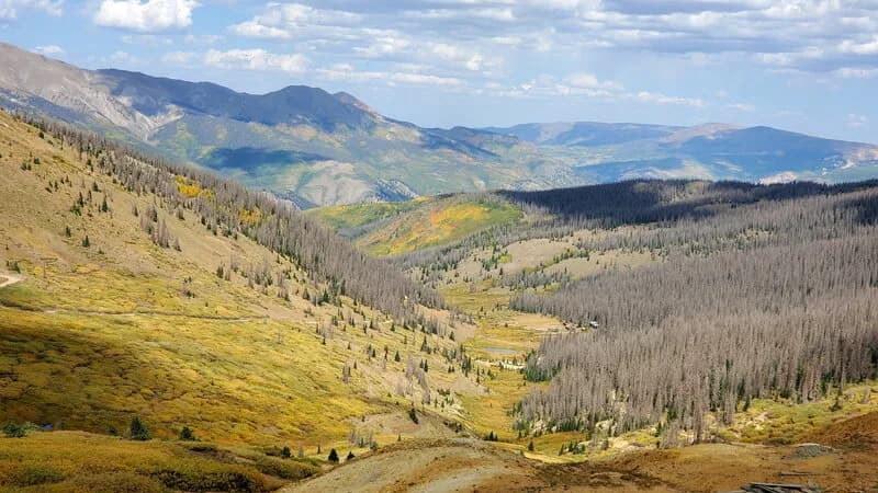
McCabe's Trail is a short, easy multi-use path in Gunnison, Colorado. The trail runs parallel to the road near the McCabe Entrance and is managed by the BLM Gunnison Field Office. It connects to Hartman Rocks, a popular outdoor recreation area. The route is approximately 0.8 to 1.2 miles long, with an elevation ranging from 7,792 to 7,902 feet. The terrain is relatively flat with a total elevation change of about 110 feet. The surface is dirt or ground, which can be muddy after rain. Parking is available at the trailhead. The trail allows hiking, biking, horseback riding, and motorcycle use. Dogs are permitted on the trail. It is accessible year-round, though spring and fall typically offer favorable conditions for walking and hiking. The trail can be used in both directions.
Trail profile
Gain
105 ft
Avg grade
2%
Steepest
2%
High point
7,899 ft
Good to know
Parking at the trailhead
Waypoints
Latest trail reportgood
Trail is in good condition. No significant obstacles or hazards reported.
Reported Mar 2, 2025Verified
What people say
Reviews
No reviews yet
Been here? Help the next person out.
Within 30 miles