Hiking · Gunnison, CO
Upper Cement Creek Trail
Before you go
Live · nearest station Gunnison, 3 miStorms build later today. Plan an early finish.
Chance of Rain
Feels like 54°
Storm chance
57% tonight
Wind
5 mph ESE
Distance
3.2mi round trip
Elevation gain
42ft
High point
7,844ft
Season
Jan - Dec
About
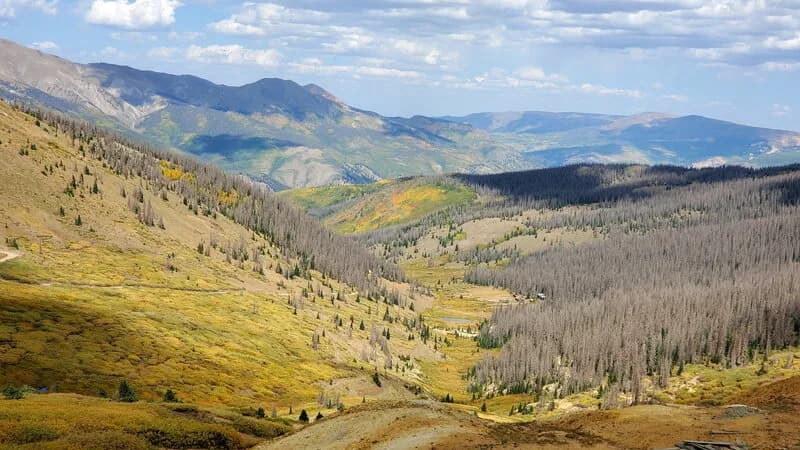
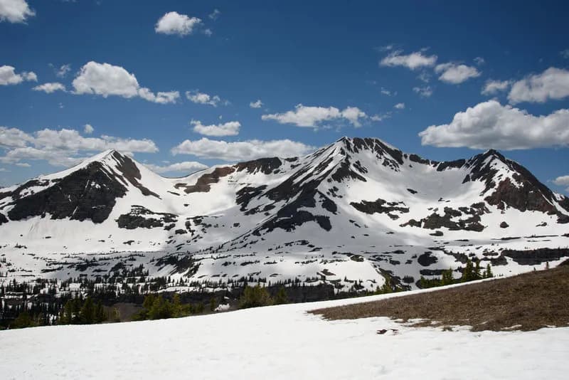
The Upper Cement Creek Trail is a moderate 3.2-mile out-and-back route in the Gunnison National Forest, located on the Western Slope of Colorado. Starting approximately 1.2 miles past the Deadman Gulch trailhead on Cement Creek Road, hikers locate the entrance by a brown Forest Service sign just before the first road switchback. The trail climbs gradually up the valley, following the course of Cement Creek with several small creek crossings along the way. The route ends near Hunters Creek Trail, offering a choice to either cross the creek and climb a short embankment back to Cement Creek Road or retrace steps. The trail covers an elevation gain of roughly 439 feet, reaching heights near 10,153 feet. It typically takes about two hours to complete. Parking is available at the trailhead, though some users note rough road conditions when accessing it. The best visiting window is generally May through September, with winter months bringing snow cover.
Trail profile
Gain
42 ft
Avg grade
0%
Steepest
0%
High point
7,844 ft
Good to know
Parking at the trailhead
Waypoints
Latest trail reportgood
Trail is in good condition. No significant obstacles or hazards reported.
Reported Mar 2, 2025Verified
What people say
Reviews
No reviews yet
Been here? Help the next person out.
Within 30 miles