Fall Hiking · Cimarron, CO
Mesa Creek Trailhead
Before you go
Live · nearest station Montrose, 18 miGood window today.
Cloudy
Feels like 62°
Trailhead temp
58° est. at 6,830 ft
Storm chance
26% tonight
Wind
5 mph SSE
Distance
—
Elevation gain
—
High point
6,830ft
Season
Sep - Novin season
About
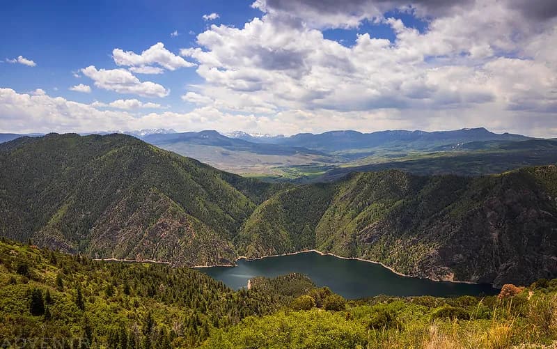
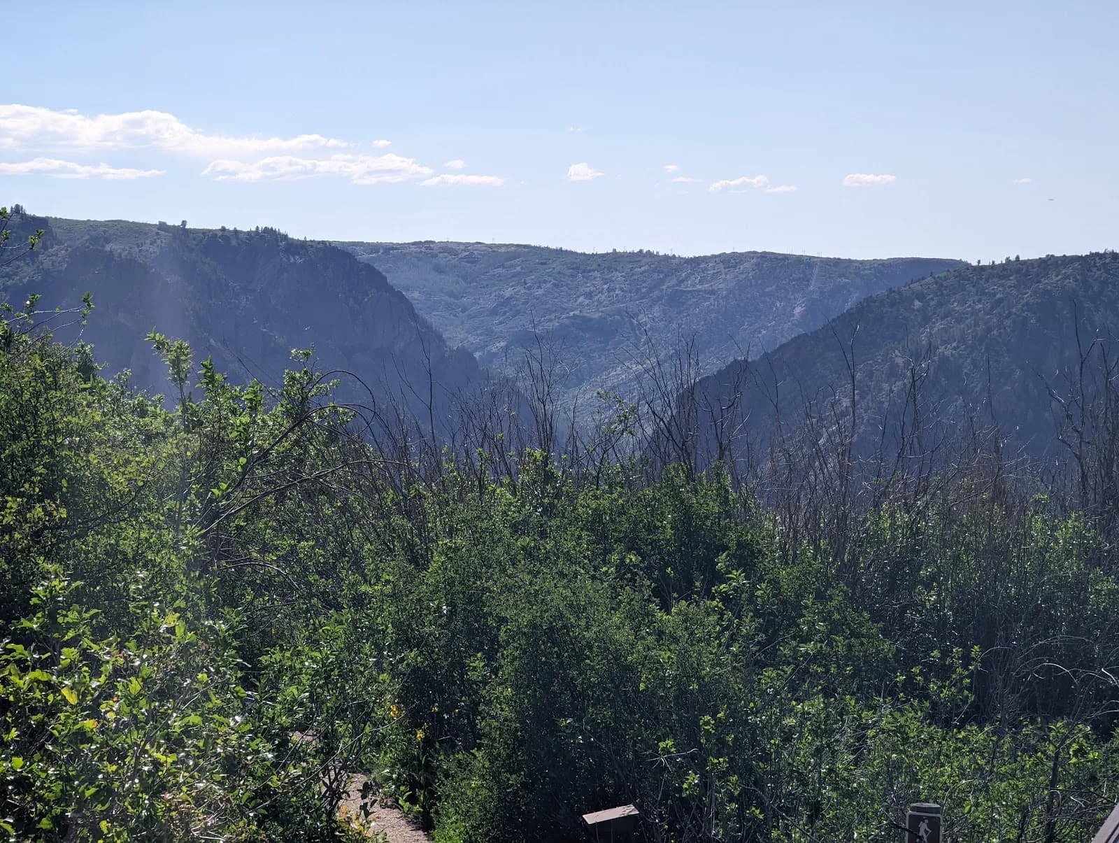
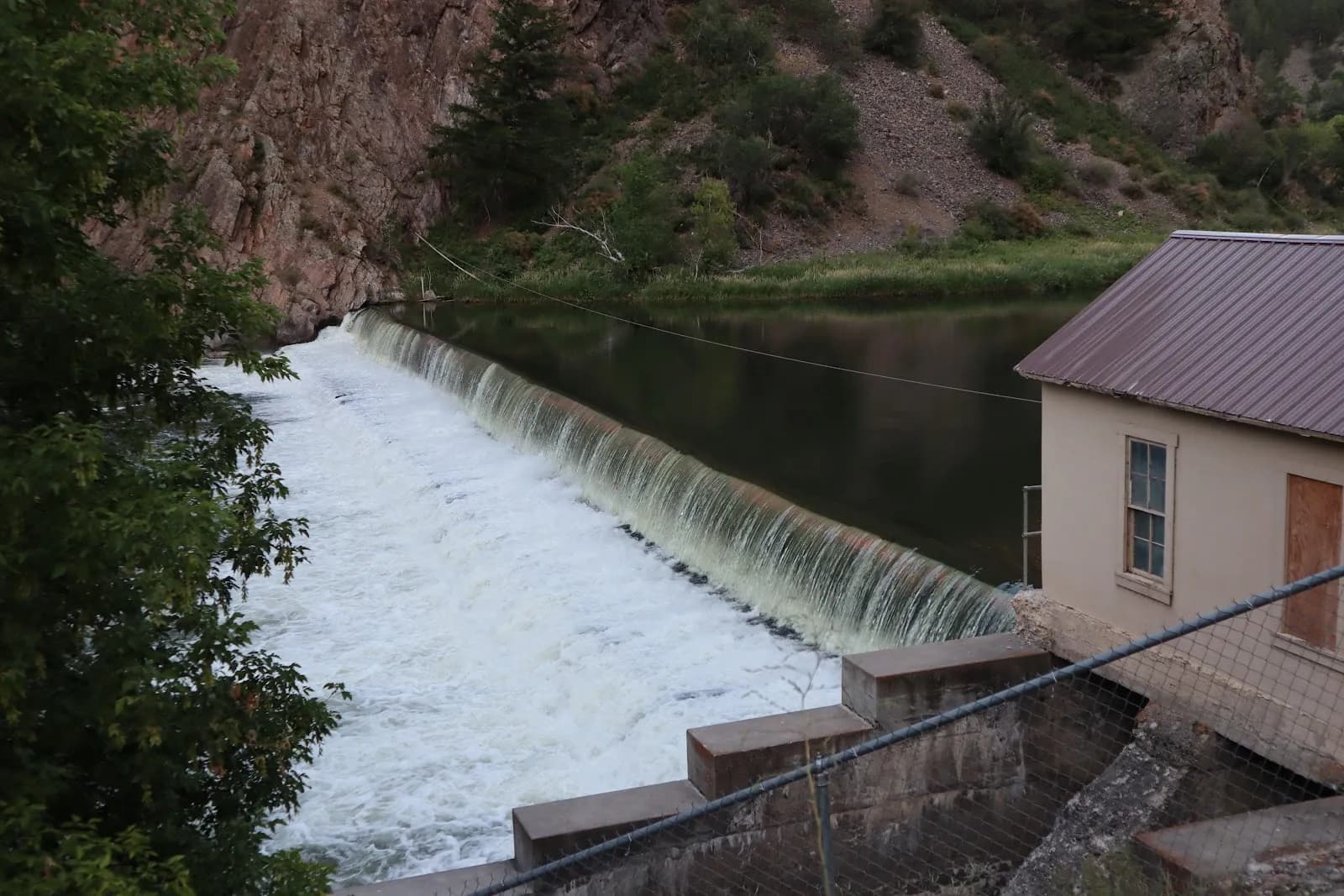
The Mesa Creek Trailhead in Cimarron provides access to a short, rugged hike along the Gunnison River within the Curecanti National Recreation Area. Located off Highway 50, the trail begins at the Morrow Point Dam parking area. The route descends from the rim to the river level, offering views of the 468-foot Morrow Point Dam, the confluence with the Cimarron River, and the sheer walls of Black Canyon. The trail crosses a footbridge to the north side of Crystal Reservoir and follows the riverbank. Water levels in the reservoir fluctuate due to dam releases, which can create strong currents. The terrain transitions from a constructed path to rocky, primitive ground. The area is known for Gold Medal fishing on the Gunnison River. A single picnic table is available along the route. The trail is generally considered easy to moderately strenuous, with an elevation ranging from approximately 6,759 to 6,891 feet. Pets are allowed on a leash.
Trail profile
Gain
—
Avg grade
—
Steepest
—
High point
6,830 ft
Good to know
Parking at the trailhead
Restrooms available
Dogs allowed on leash
Waypoints
No waypoints mapped for this trail yet.
What people say
Reviews
No reviews yet
Been here? Help the next person out.
Within 30 miles